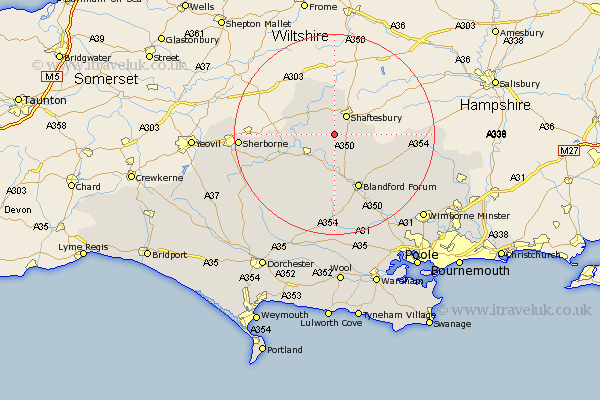
Dorset Map Showing Location of East Orchard
Population: 127
District: North Dorset
Easting: 383617 Northing: 118673
Latitude: 50.97 Longitude: -2.23
 = East Orchard
District: North Dorset
Easting: 383617 Northing: 118673
Latitude: 50.97 Longitude: -2.23
= East Orchard
This East Orchard map below is supplied by Google. Use the tools in the top left corner to zoom into street level or zoom out for a road map, you may also need to zoom in to see East Orchard on the map. Click and drag the map to move around. If the map fails to load try and refresh your browser or zoom in or out (+ or -).
Update - it seems Google no longer allow people to use their maps for free! This East Orchard map sometimes loads and sometimes gives a error. I am working on a solution.
Closest 30 Towns or Cities to East Orchard (Population over 500)
Stour Provost 3.96km Fontmell Magna 3.96km Shaftesbury 4.38km Stour 5.1km East Stour 5.1km Iwerne Minster 5.1km Child Okeford 5.56km Motcombe 5.68km Marnhull 5.84km Sturminster Newton 6.57km Charlton 7.24km Shillingstone 7.51km Gillingham 7.76km Stalbridge 9.52km Stourpaine 9.56km Pimperne 11.62km Blandford 12.06km Blandford Forum 12.06km Bourton 13.14km Winterborne Stickland 14.83km Stickland Winterborne 14.83km Tarrant Monkton 15.3km Handley 16.45km Whitechurch 18.54km Spetisbury 18.58km Sherborne 18.77km Sherbourne 18.77km Milton Abbas 18.87km Buckland Newton 21.24km Winterborne Kingston 22.36km