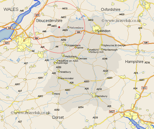
Wiltshire Map Showing Location of Easton Grey
Population: 99
District: North Wiltshire
Easting: 387298 Northing: 187228
Latitude: 51.58 Longitude: -2.18
 = Easton Grey
District: North Wiltshire
Easting: 387298 Northing: 187228
Latitude: 51.58 Longitude: -2.18
= Easton Grey
This Easton Grey map below is supplied by Google. Use the tools in the top left corner to zoom into street level or zoom out for a road map, you may also need to zoom in to see Easton Grey on the map. Click and drag the map to move around. If the map fails to load try and refresh your browser or zoom in or out (+ or -).
Update - it seems Google no longer allow people to use their maps for free! This Easton Grey map sometimes loads and sometimes gives a error. I am working on a solution.
Closest 30 Towns or Cities to Easton Grey (Population over 500)
Sherston 2.95km Luckington 5.91km Hullavington 6.02km Malmsbury 6.91km Malmesbury 6.91km Stanton Saint Quintin 8.17km Stanton 8.17km Stanton St. Quintin 8.17km Stanton St Quintin 8.17km Lea 8.27km Crudwell 9.79km Great Somerford 9.8km Somerford 9.8km Nettleton 10.91km Yatton Keynell 11.18km Sutton Benger 11.56km Christian Malford 13.07km Brinkworth 14.31km Chippenham 15.52km Minety 16.54km Lyneham 16.71km Corsham 16.72km Colerne 17.65km Bremhill 18.1km Ashton Keynes 18.14km Box 19.09km Hillmarton 19.82km Hilmarton 19.82km Wooton Bassett 20.36km Wootton Bassett 20.36km