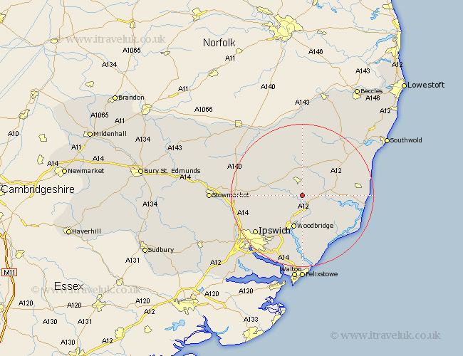
Suffolk Map Showing Location of Easton
Population: 320
District: Suffolk Coastal
Easting: 628984 Northing: 259230
Latitude: 52.18 Longitude: 1.35
 = Easton
District: Suffolk Coastal
Easting: 628984 Northing: 259230
Latitude: 52.18 Longitude: 1.35
= Easton
This Easton map below is supplied by Google. Use the tools in the top left corner to zoom into street level or zoom out for a road map, you may also need to zoom in to see Easton on the map. Click and drag the map to move around. If the map fails to load try and refresh your browser or zoom in or out (+ or -).
Update - it seems Google no longer allow people to use their maps for free! This Easton map sometimes loads and sometimes gives a error. I am working on a solution.
Closest 30 Towns or Cities to Easton (Population over 500)
Wickham Market 3.87km Framlingham 3.88km Ufford 7.41km Rendlesham 8.69km Otley 8.78km Tunstall 8.8km Melton 9.54km Woodbridge 9.54km Dennington 9.88km Snape 10.23km Saxmundham 10.88km Grundisburgh 11.5km Worlingworth 11.51km Martlesham 11.63km Debenham 11.95km Sutton 12.96km Laxfield 13.03km Martlesham Heath 13.74km Yoxford 14.66km Wirnesham 14.67km Witnesham 14.67km Leiston 14.89km Henley 15.53km Hollesley 15.88km Stradbroke 15.88km Cookley 16.32km Orford 16.74km Ipswich 16.74km Coddenham 16.86km Aldeburgh 17.45km