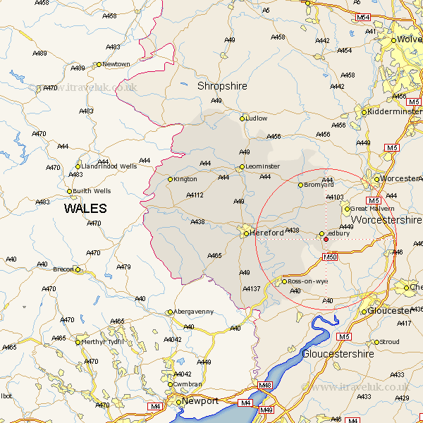
Herefordshire Map Showing Location of Eastnor
Population: 289
Easting: 372562 Northing: 237332
Latitude: 52.03 Longitude: -2.4
 = Eastnor
Easting: 372562 Northing: 237332
Latitude: 52.03 Longitude: -2.4
= Eastnor
This Eastnor map below is supplied by Google. Use the tools in the top left corner to zoom into street level or zoom out for a road map, you may also need to zoom in to see Eastnor on the map. Click and drag the map to move around. If the map fails to load try and refresh your browser or zoom in or out (+ or -).
Update - it seems Google no longer allow people to use their maps for free! This Eastnor map sometimes loads and sometimes gives a error. I am working on a solution.
Closest 30 Towns or Cities to Eastnor (Population over 500)
Ledbury 2.18km Colwall 5.68km Bosbury 6.53km Cradley 7.5km Much Marcle 7.78km Upton Bishop 12.23km Fownhope 14.18km Weston 15.86km Weston under Penyard 15.86km Weston-under-Penyard 15.86km Mordiford 16.07km Lea 16.33km Ross on Wye 17.28km Ross-on-wye 17.28km Ross 17.28km Lugwardine 17.49km Withington 17.59km Bromyard 18.02km Whitbourne 20.39km Sutton 20.74km Walford 21.59km Bullingham 21.66km Hereford 21.74km Much Birch 22.91km Bodenham 23.3km Goodrich 23.74km Moreton-on-Lugg 23.96km Moreton on Lugg 23.96km Moreton 23.96km Much Dewchurch 24.59km