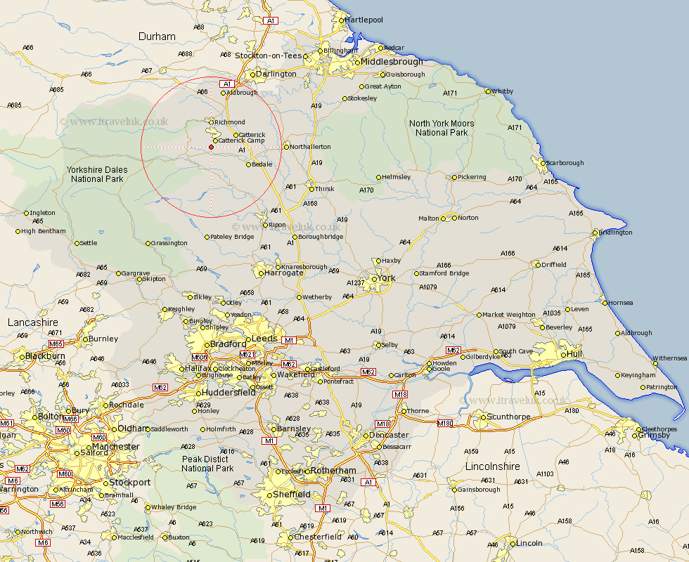
Yorkshire Map Showing Location of East Hauxwell
Population: 33
District: Richmondshire
Easting: 417338 Northing: 493131
Latitude: 54.33 Longitude: -1.73
 = East Hauxwell
District: Richmondshire
Easting: 417338 Northing: 493131
Latitude: 54.33 Longitude: -1.73
= East Hauxwell
This East Hauxwell map below is supplied by Google. Use the tools in the top left corner to zoom into street level or zoom out for a road map, you may also need to zoom in to see East Hauxwell on the map. Click and drag the map to move around. If the map fails to load try and refresh your browser or zoom in or out (+ or -).
Update - it seems Google no longer allow people to use their maps for free! This East Hauxwell map sometimes loads and sometimes gives a error. I am working on a solution.
Closest 30 Towns or Cities to East Hauxwell (Population over 500)
Leyburn 6.55km Richmond 7.42km Catterick 7.47km Middleham 7.75km Crakehall 8.42km Scorton 10.27km Gilling 11.17km Bedale 11.21km North Cowton 14km Masham 14.05km Middleton Tyas 14.05km Barton 15.78km Cowton 15.93km East Cowton 15.93km Melsonby 16.99km Grewelthorpe 17.54km West Tanfield 18.35km Tanfield 18.35km Kirkby Malzeard 19.3km Northallerton 19.45km Bradley 19.94km Brompton 20.61km Bewerley 27.88km Ripon 27.9km Topcliffe 28.2km Osmotherley 28.33km Dishforth 28.96km Thirsk 29.03km Hawes 30.49km Dacre 31.52km