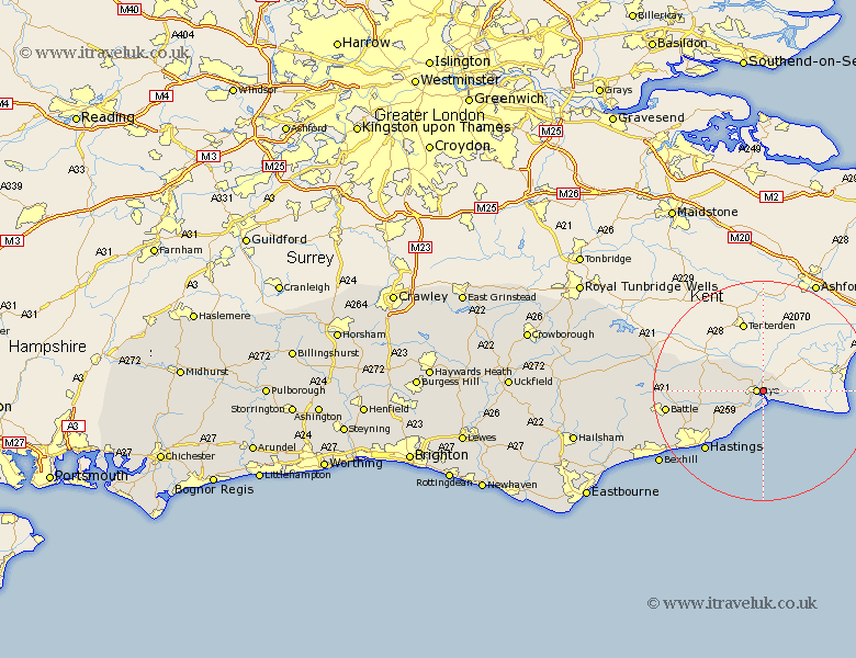
Sussex Map Showing Location of East Guldeford
Population: 57
District: Rother
Easting: 593139 Northing: 120391
Latitude: 50.95 Longitude: 0.75
 = East Guldeford
District: Rother
Easting: 593139 Northing: 120391
Latitude: 50.95 Longitude: 0.75
= East Guldeford
This East Guldeford map below is supplied by Google. Use the tools in the top left corner to zoom into street level or zoom out for a road map, you may also need to zoom in to see East Guldeford on the map. Click and drag the map to move around. If the map fails to load try and refresh your browser or zoom in or out (+ or -).
Update - it seems Google no longer allow people to use their maps for free! This East Guldeford map sometimes loads and sometimes gives a error. I am working on a solution.
Closest 30 Towns or Cities to East Guldeford (Population over 500)
Rye 1.17km Peasmarsh 5.02km Icklesham 8.06km Beckley 8.38km Pett 9.44km Fairlight 11.04km Guestling 11.04km Northiam 11.14km Brede 11.14km Westfield 14km Hastings 15.31km Sedlescombe 15.63km Battle 17.91km Crowhurst 19.83km Mountfield 19.94km Robertsbridge 20.18km Hurst Green 20.6km Catsfield 22.3km Etchingham 22.86km Bexhill 23.11km Ticehurst 25.1km Ninfield 25.14km Burwash 26.27km Herstmonceux 30.14km Hurstmonceux 30.14km Hurstmonceaux 30.14km Wadhurst 31.21km Pevensey Bay 31.65km Pevensey 32.65km Warbleton 32.75km