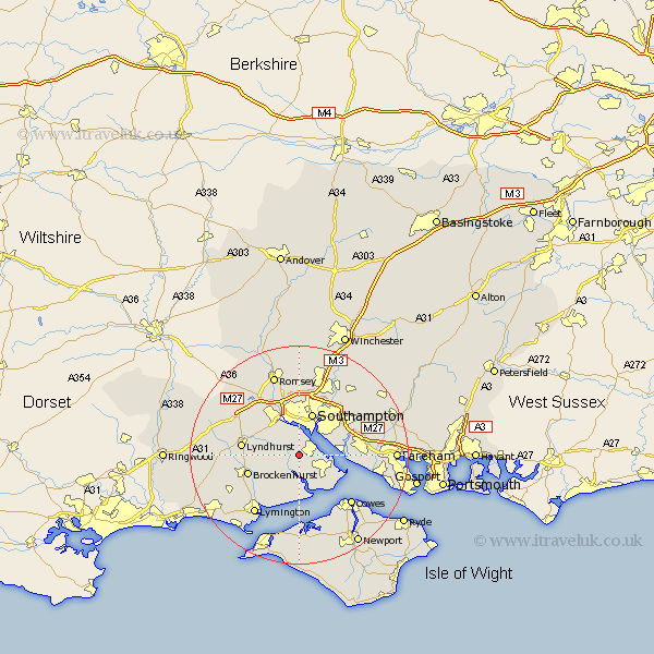
Hampshire Map Showing Location of Dibden Purlieu
District: New Forest
Easting: 439886 Northing: 105824
Latitude: 50.85 Longitude: -1.43
 = Dibden Purlieu
Easting: 439886 Northing: 105824
Latitude: 50.85 Longitude: -1.43
= Dibden Purlieu
This Dibden Purlieu map below is supplied by Google. Use the tools in the top left corner to zoom into street level or zoom out for a road map, you may also need to zoom in to see Dibden Purlieu on the map. Click and drag the map to move around. If the map fails to load try and refresh your browser or zoom in or out (+ or -).
Update - it seems Google no longer allow people to use their maps for free! This Dibden Purlieu map sometimes loads and sometimes gives a error. I am working on a solution.
Closest 30 Towns or Cities to Dibden Purlieu (Population over 500)
Dibden 1.86km Hythe 2.99km Marchwood 3.71km Beaulieu 3.88km Bewley 3.88km Eling 6.57km Itchen 6.57km Fawley 6.93km Netley 7.26km Netley Marsh 7.26km Ashurst 7.42km Southampton 8.13km Hample 8.19km Hamble 8.19km Totton 8.2km Locks Heath 9.17km Bursledon 9.54km Brockenhurst 10.07km West End 10.21km Lyndhurst 10.69km Chilworth 11.18km Boldre 11.63km Minstead 12.27km Cadnam 12.87km Cowes 13.17km Lymington 13.82km Gurnard 13.82km Botley 13.85km Sway 13.86km Eastleigh 14.23km