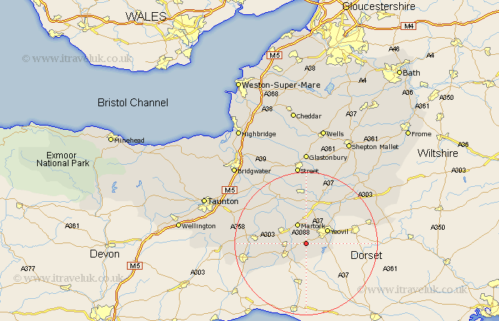
Somerset Map Showing Location of East Chinnock
District: South Somerset
Easting: 349626 Northing: 113332
Latitude: 50.92 Longitude: -2.72
 = East Chinnock
Easting: 349626 Northing: 113332
Latitude: 50.92 Longitude: -2.72
= East Chinnock
This East Chinnock map below is supplied by Google. Use the tools in the top left corner to zoom into street level or zoom out for a road map, you may also need to zoom in to see East Chinnock on the map. Click and drag the map to move around. If the map fails to load try and refresh your browser or zoom in or out (+ or -).
Update - it seems Google no longer allow people to use their maps for free! This East Chinnock map sometimes loads and sometimes gives a error. I am working on a solution.
Closest 30 Towns or Cities to East Chinnock (Population over 500)
West Chinnock 2.34km West Coker 2.34km Haselbury Plucknett 2.98km Montacute 3.7km Tintinhull 5.56km Martock 6.03km South Petherton 6.91km Yeovil 6.92km Crewkerne 6.92km Misterton 8.07km Kingsbury 9.43km Kingsbury Episcopi 9.43km Ilchester 9.55km Yeovilton 9.9km Mudford 10.19km Long Sutton 11.66km Ilminster 14.14km Ilton 14.5km Queen Camel 14.52km Winsham 14.85km Somerton 15km Langport 15.32km Curry Rivel 16.12km Sparkford 16.69km Fivehead 16.79km Charlton Mackrell 17.04km Broadway 17.62km High Ham 18.09km Milborne Port 18.38km Chard 18.39km