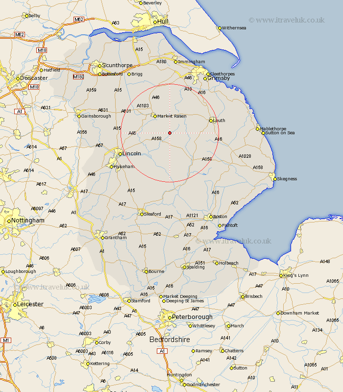
Lincolnshire Map Showing Location of East Barkwith
Population: 388
District: East Lindsey
Easting: 516565 Northing: 381432
Latitude: 53.32 Longitude: -0.25
 = East Barkwith
District: East Lindsey
Easting: 516565 Northing: 381432
Latitude: 53.32 Longitude: -0.25
= East Barkwith
This East Barkwith map below is supplied by Google. Use the tools in the top left corner to zoom into street level or zoom out for a road map, you may also need to zoom in to see East Barkwith on the map. Click and drag the map to move around. If the map fails to load try and refresh your browser or zoom in or out (+ or -).
Update - it seems Google no longer allow people to use their maps for free! This East Barkwith map sometimes loads and sometimes gives a error. I am working on a solution.
Closest 30 Towns or Cities to East Barkwith (Population over 500)
Wragby 4.98km Holton 5.84km Market Rasen 9.24km Middle Rasen 10.71km Bardney 11.97km binbrook 13.7km Scothern 13.8km Sudbrooke 14.41km Dunholme 14.51km Dunholm 14.51km Cherry Willingham 14.89km Reepham 15.32km Fiskerton 15.32km Welton 15.61km Banovallum 15.72km Horncastle 15.72km Louth 16.46km Nettleham 16.48km Washingborough 18.2km Potter Hanworth 18.52km Woodhall Spa 18.67km Caistor 19.04km Nettleton 19.04km Mareham on the Hill 19.2km Mareham-on-the-Hill 19.2km Mareham 19.2km Heighington 19.39km Legbourne 20.01km Nocton 20.03km South Kelsey 20.64km