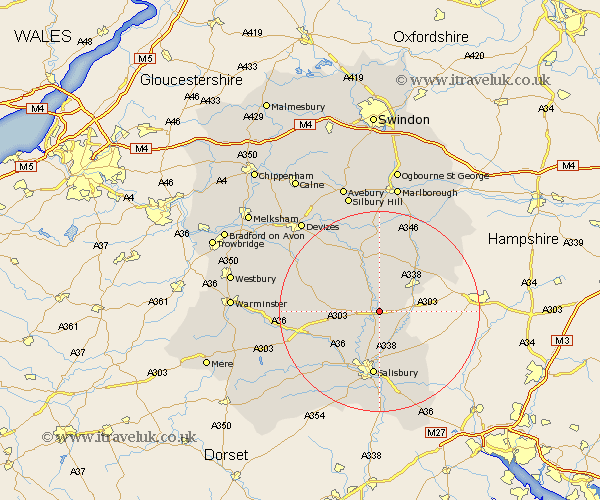
Wiltshire Map Showing Location of Durrington
Population: 9131
Area Size (ha): 291
District: Salisbury
Easting: 416306 Northing: 142758
Latitude: 51.18 Longitude: -1.77
 = Durrington
Area Size (ha): 291
District: Salisbury
Easting: 416306 Northing: 142758
Latitude: 51.18 Longitude: -1.77
= Durrington
This Durrington map below is supplied by Google. Use the tools in the top left corner to zoom into street level or zoom out for a road map, you may also need to zoom in to see Durrington on the map. Click and drag the map to move around. If the map fails to load try and refresh your browser or zoom in or out (+ or -).
Update - it seems Google no longer allow people to use their maps for free! This Durrington map sometimes loads and sometimes gives a error. I am working on a solution.
Closest 30 Towns or Cities to Durrington (Population over 500)
Bulford 1.86km Amesbury 2.18km Lark Hill 3.48km Figheldean 3.89km Netheravon 5.68km Idmiston 6.56km Enford 7.77km Lugershall 8.34km Ludgershall 8.34km Tidworth 8.91km North Tidworth 8.91km Shrewton 9.29km Winterbourne Dauntsey 9.34km Winterbourne 9.34km South Newton 11.6km Upavon 11.65km Longford 12.88km Steeple Langford 12.88km Salisbury 13.02km New Sarum 13.02km Wilton 13.13km Winterslow 13.13km Collingbourne Ducis 13.77km Farley 15.92km Britford 16.68km Pewsey 16.72km Odstock 16.72km Alderbury 16.84km Urchfont 17.41km Coombe Bissett 17.67km