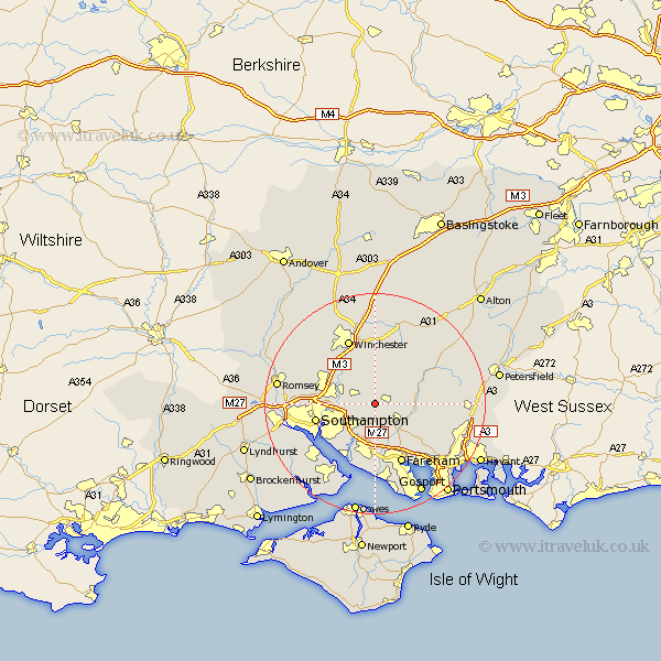
Hampshire Map Showing Location of Durley
Population: 861
District: Winchester
Easting: 452678 Northing: 117058
Latitude: 50.95 Longitude: -1.25
 = Durley
District: Winchester
Easting: 452678 Northing: 117058
Latitude: 50.95 Longitude: -1.25
= Durley
This Durley map below is supplied by Google. Use the tools in the top left corner to zoom into street level or zoom out for a road map, you may also need to zoom in to see Durley on the map. Click and drag the map to move around. If the map fails to load try and refresh your browser or zoom in or out (+ or -).
Update - it seems Google no longer allow people to use their maps for free! This Durley map sometimes loads and sometimes gives a error. I am working on a solution.
Closest 30 Towns or Cities to Durley (Population over 500)
Upham 2.19km Bishop's Waltham 2.33km Bishops Waltham 2.33km Curdridge 3.71km Curbridge 3.71km Botley 3.88km Waltham Chase 5.1km Owslebury 5.68km Shedfield 5.96km Shidfield 5.96km Bishopstoke 6.12km Swanmore 6.13km West End 6.92km Eastleigh 7.25km Wickham 8.06km Droxford 8.17km Corhampton 8.38km Soberton 8.38km Twyford 8.76km Otterbourne 8.94km Compton 9.44km Bursledon 9.9km Ashurst 10.68km Locks Heath 10.71km Itchen 10.87km Netley 10.95km Netley Marsh 10.95km Southampton 11.03km Chilworth 11.68km Hample 12.06km