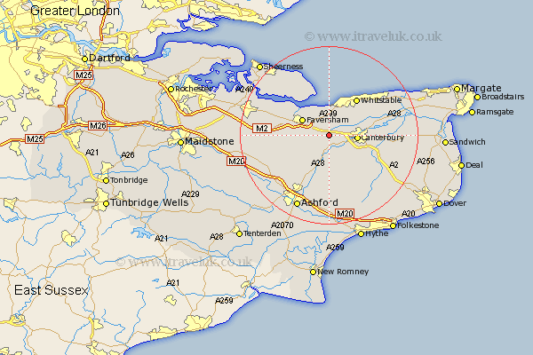
Kent Map Showing Location of Dunkirk
Population: 2671
Area Size (ha): 52
District: Swale
Easting: 608021 Northing: 158079
Latitude: 51.28 Longitude: 0.98
 = Dunkirk
Area Size (ha): 52
District: Swale
Easting: 608021 Northing: 158079
Latitude: 51.28 Longitude: 0.98
= Dunkirk
This Dunkirk map below is supplied by Google. Use the tools in the top left corner to zoom into street level or zoom out for a road map, you may also need to zoom in to see Dunkirk on the map. Click and drag the map to move around. If the map fails to load try and refresh your browser or zoom in or out (+ or -).
Update - it seems Google no longer allow people to use their maps for free! This Dunkirk map sometimes loads and sometimes gives a error. I am working on a solution.
Closest 30 Towns or Cities to Dunkirk (Population over 500)
Dunkirk 0km Harbledown 3.48km Chartham 4.37km Selling 4.99km Blean 4.99km Chilham 5.68km Canterbury 6.3km Faversham 6.88km Hackington 6.95km Oare 7.88km Lower Hardres 8.03km Ospringe 8.32km Petham 8.74km Sturry 9.27km Chestfield 9.41km Whitstable 10.32km Bridge 10.82km Wye 11.65km Stelling 12.54km Teynham 12.85km Littlebourne 12.89km Leysdown on Sea 13.78km Leysdown 13.78km Leysdown-on-Sea 13.78km Broomfield 13.84km Hoath 13.9km Herne Bay 13.95km Linsted 14.03km Lynsted 14.03km Warden 14.21km