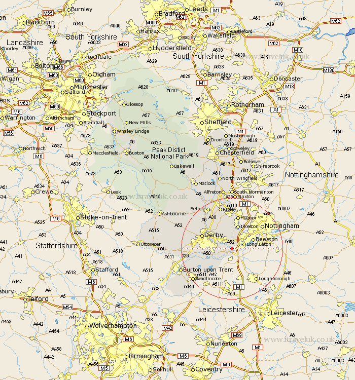
Derbyshire Map Showing Location of Draycott
District: Erewash
Easting: 444856 Northing: 332003
Latitude: 52.88 Longitude: -1.33
 = Draycott
Easting: 444856 Northing: 332003
Latitude: 52.88 Longitude: -1.33
= Draycott
This Draycott map below is supplied by Google. Use the tools in the top left corner to zoom into street level or zoom out for a road map, you may also need to zoom in to see Draycott on the map. Click and drag the map to move around. If the map fails to load try and refresh your browser or zoom in or out (+ or -).
Update - it seems Google no longer allow people to use their maps for free! This Draycott map sometimes loads and sometimes gives a error. I am working on a solution.
Closest 30 Towns or Cities to Draycott (Population over 500)
Sawley 2.9km Borrowash 3.83km Shardlow 3.87km Risley 3.88km Long Eaton 4.84km Sandiacre 5km Dale Abbey 5.67km Weston on Trent 7.14km Weston upon Trent 7.14km Weston-on-Trent 7.14km West Hallam 7.5km Ilkeston 9.54km Breadsall 9.6km Melbourne 10km Little Eaton 10.78km Smalley 11.61km Derby 12.48km Shipley Gate Station 13.02km Heanor 13.17km Quarndon 13.41km Duffield 13.68km Ticknall 13.69km Findern 13.93km Kilburn 14.6km Kilbourn 14.6km Kilbourne 14.6km Denby 15.49km Repton 15.57km Willington 15.57km Burnaston 15.66km