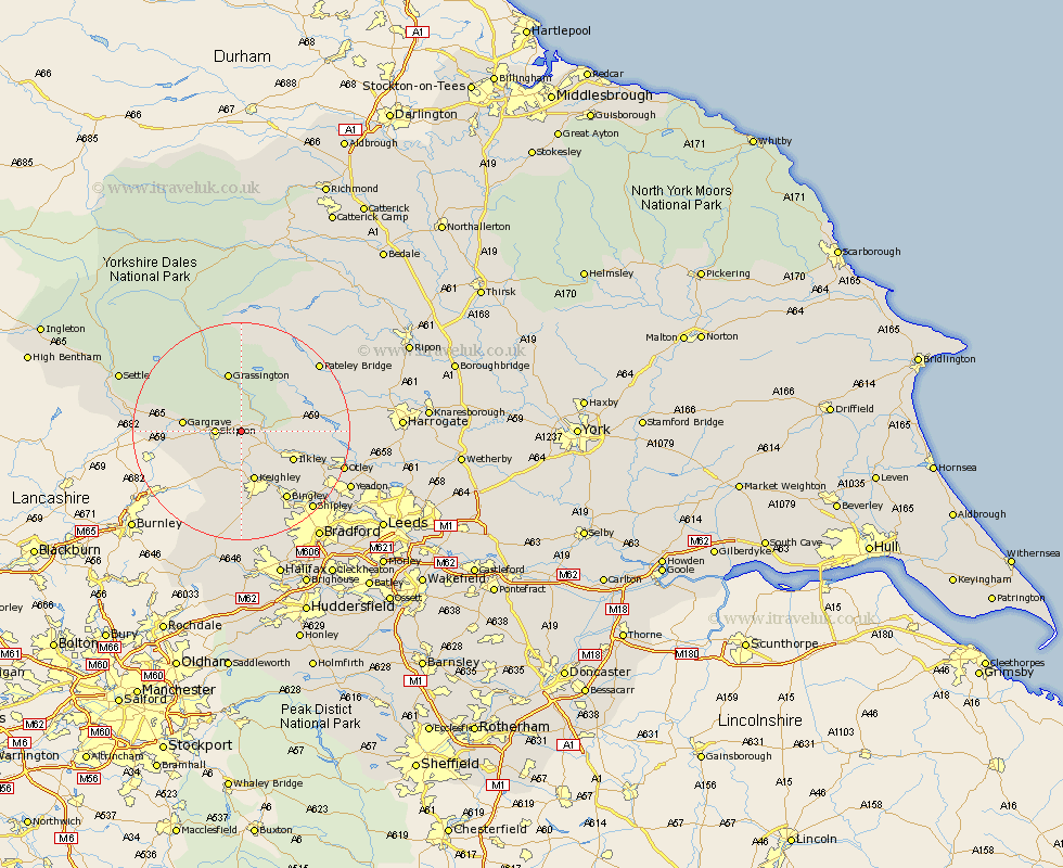
Yorkshire Map Showing Location of Draughton
Population: 300
District: Craven
Easting: 403279 Northing: 452314
Latitude: 53.97 Longitude: -1.95
 = Draughton
District: Craven
Easting: 403279 Northing: 452314
Latitude: 53.97 Longitude: -1.95
= Draughton
This Draughton map below is supplied by Google. Use the tools in the top left corner to zoom into street level or zoom out for a road map, you may also need to zoom in to see Draughton on the map. Click and drag the map to move around. If the map fails to load try and refresh your browser or zoom in or out (+ or -).
Update - it seems Google no longer allow people to use their maps for free! This Draughton map sometimes loads and sometimes gives a error. I am working on a solution.
Closest 30 Towns or Cities to Draughton (Population over 500)
Embsay 2.18km Skipton 4.36km Addingham 5.73km Cononley 7.07km Silsden 7.5km Carlton 7.52km Carleton 7.52km Glusburn 8.11km Steeton 9.27km Keighley 9.53km Sutton-in-Craven 9.53km Gargrave 9.98km Threshfield 10.24km Ilkley 10.35km Grassington 11.33km Earby 12.24km Burley 14.22km Burley in Wharfedale 14.22km Bingley 15.06km Haworth 16.68km Menston 16.95km Cullingworth 17km Hellifield 17.54km Wilsden 17.55km Bewerley 17.65km Baildon 17.68km Dacre 17.84km Darley 17.94km Oxenhope 18.54km Guiseley 18.9km