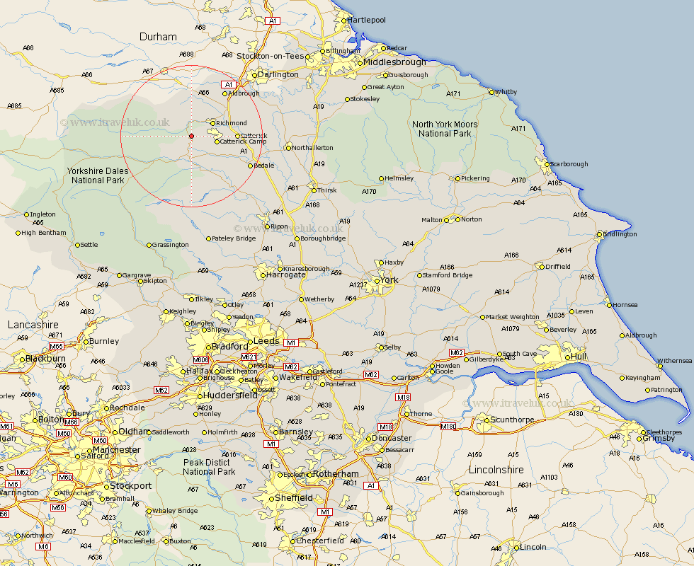
Yorkshire Map Showing Location of Downholme
Population: 39
District: Richmondshire
Easting: 411910 Northing: 496830
Latitude: 54.37 Longitude: -1.82
 = Downholme
District: Richmondshire
Easting: 411910 Northing: 496830
Latitude: 54.37 Longitude: -1.82
= Downholme
This Downholme map below is supplied by Google. Use the tools in the top left corner to zoom into street level or zoom out for a road map, you may also need to zoom in to see Downholme on the map. Click and drag the map to move around. If the map fails to load try and refresh your browser or zoom in or out (+ or -).
Update - it seems Google no longer allow people to use their maps for free! This Downholme map sometimes loads and sometimes gives a error. I am working on a solution.
Closest 30 Towns or Cities to Downholme (Population over 500)
Richmond 6.54km Leyburn 7.42km Middleham 9.27km Gilling 9.83km Catterick 11.88km Scorton 14.15km Middleton Tyas 14.22km Crakehall 14.94km Barton 15.49km Melsonby 15.57km North Cowton 17.66km Bedale 17.75km East Cowton 19.17km Cowton 19.17km Bradley 19.31km Masham 19.88km Grewelthorpe 23.09km Tanfield 24.64km West Tanfield 24.64km Kirkby Malzeard 24.73km Northallerton 25.12km Hawes 25.94km Brompton 25.98km Bewerley 31.68km Osmotherley 33.47km Ripon 33.95km Topcliffe 34.75km Grassington 35.08km Dishforth 35.43km Thirsk 35.53km