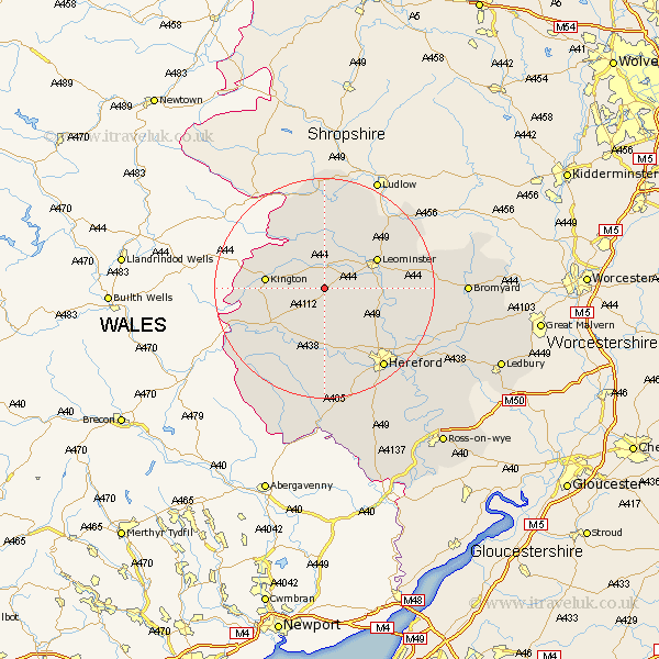
Herefordshire Map Showing Location of Dilwyn
Population: 758
Easting: 340752 Northing: 254293
Latitude: 52.18 Longitude: -2.87
 = Dilwyn
Easting: 340752 Northing: 254293
Latitude: 52.18 Longitude: -2.87
= Dilwyn
This Dilwyn map below is supplied by Google. Use the tools in the top left corner to zoom into street level or zoom out for a road map, you may also need to zoom in to see Dilwyn on the map. Click and drag the map to move around. If the map fails to load try and refresh your browser or zoom in or out (+ or -).
Update - it seems Google no longer allow people to use their maps for free! This Dilwyn map sometimes loads and sometimes gives a error. I am working on a solution.
Closest 30 Towns or Cities to Dilwyn (Population over 500)
Weobley 1.85km Eardisland 3.88km Pembridge 4.35km Shobdon 7.42km Lyonshall 8.17km Kingsland 8.7km Almeley 8.78km Wellington 9.71km Credenhill 10.32km Kington 10.39km Leominster 10.65km Eardisley 10.66km Burghill 11.5km Croft 12.01km Luston 12.21km Moreton 12.98km Moreton on Lugg 12.98km Moreton-on-Lugg 12.98km Bodenham 13.04km Wigmore 14.88km Orleton 15.21km Sutton 15.57km Madley 16.72km Brimfield 17.24km Peterchurch 17.62km Hereford 18.02km Withington 18.42km Clifford 18.42km Kingstone 18.66km Allensmore 19.38km