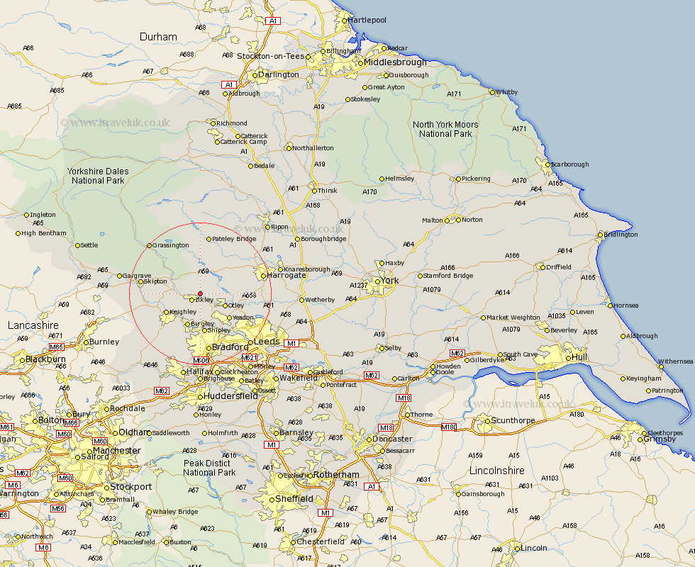
Yorkshire Map Showing Location of Denton
Population: 98
District: Harrogate
Easting: 414223 Northing: 448619
Latitude: 53.93 Longitude: -1.78
 = Denton
District: Harrogate
Easting: 414223 Northing: 448619
Latitude: 53.93 Longitude: -1.78
= Denton
This Denton map below is supplied by Google. Use the tools in the top left corner to zoom into street level or zoom out for a road map, you may also need to zoom in to see Denton on the map. Click and drag the map to move around. If the map fails to load try and refresh your browser or zoom in or out (+ or -).
Update - it seems Google no longer allow people to use their maps for free! This Denton map sometimes loads and sometimes gives a error. I am working on a solution.
Closest 30 Towns or Cities to Denton (Population over 500)
Ilkley 2.86km Burley in Wharfedale 2.86km Burley 2.86km Menston 6.45km Addingham 6.55km Otley 7.52km Guiseley 8.6km Baildon 9.33km Bingley 9.82km Keighley 10.35km Silsden 10.5km Yeadon 10.64km Shipley 11.17km Pool 11.53km Pool-in-Wharfedale 11.53km Poole 11.53km Steeton 12.25km Bramhope 12.25km Darley 12.38km Arthington Junction Station 12.57km Arthington 12.57km Embsay 13.6km Dacre 13.69km Wilsden 14.07km Sutton-in-Craven 14.23km Weeton 14.31km Glusburn 14.66km Horsforth 14.84km Cullingworth 15.05km Hampsthwaite 15.16km