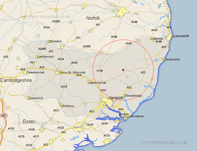
Suffolk Map Showing Location of Dennington
Population: 554
District: Suffolk Coastal
Easting: 625145 Northing: 268345
Latitude: 52.27 Longitude: 1.3
 = Dennington
District: Suffolk Coastal
Easting: 625145 Northing: 268345
Latitude: 52.27 Longitude: 1.3
= Dennington
This Dennington map below is supplied by Google. Use the tools in the top left corner to zoom into street level or zoom out for a road map, you may also need to zoom in to see Dennington on the map. Click and drag the map to move around. If the map fails to load try and refresh your browser or zoom in or out (+ or -).
Update - it seems Google no longer allow people to use their maps for free! This Dennington map sometimes loads and sometimes gives a error. I am working on a solution.
Closest 30 Towns or Cities to Dennington (Population over 500)
Worlingworth 3.4km Laxfield 5.85km Stradbroke 6km Framlingham 6.01km Fressingfield 9.26km Debenham 9.7km Thorndon 11.49km Hoxne 11.49km Cookley 11.62km Eye 11.62km Otley 13.75km Wickham Market 13.75km Saxmundham 14.71km Yoxford 14.74km Mendlesham 15.99km Halesworth 16.45km Snape 16.48km Holton 16.49km Ufford 17.02km Gislingham 17.41km Wenhaston 17.89km Tunstall 18.02km Rendlesham 18.48km Woodbridge 18.57km Melton 18.57km Grundisburgh 18.85km Bacton 19.28km Wortham 19.36km Coddenham 19.39km Henley 19.56km