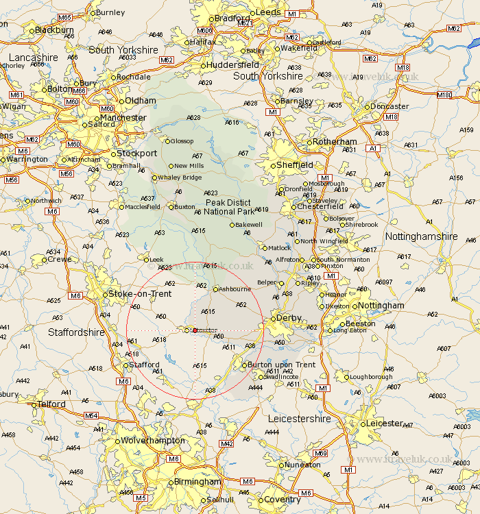
Derbyshire Map Showing Location of Doveridge
Population: 1452
District: Derbyshire Dales
Easting: 412330 Northing: 333668
Latitude: 52.9 Longitude: -1.82
 = Doveridge
District: Derbyshire Dales
Easting: 412330 Northing: 333668
Latitude: 52.9 Longitude: -1.82
= Doveridge
This Doveridge map below is supplied by Google. Use the tools in the top left corner to zoom into street level or zoom out for a road map, you may also need to zoom in to see Doveridge on the map. Click and drag the map to move around. If the map fails to load try and refresh your browser or zoom in or out (+ or -).
Update - it seems Google no longer allow people to use their maps for free! This Doveridge map sometimes loads and sometimes gives a error. I am working on a solution.
Closest 30 Towns or Cities to Doveridge (Population over 500)
Sudbury 5.81km Church Broughton 8.04km Scropton 8.71km Clifton 11.98km Ashbourne 14.13km Brailsford 14.51km Etwall 15km Egginton 16.33km Burnaston 16.87km Kirk Langley 17.17km Burton-on-Trent 17.44km Burton on Trent 17.44km Burton upon Trent 17.44km Barton 17.98km Barton-under-Needwood 17.98km Barton under Needwood 17.98km Newton Solney 18.2km Walton 18.93km Walton on Trent 18.93km Walton upon Trent 18.93km Walton-on-Trent 18.93km Repton 19.38km Willington 19.38km Findern 19.81km Bretby 20.35km Derby 21.55km Quarndon 21.94km Rosliston 22.26km Brassington 23.24km Swadlincote 23.25km