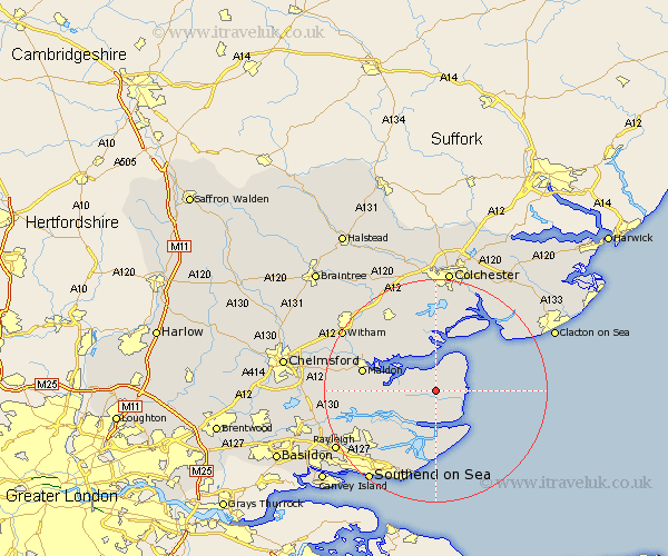
Essex Map Showing Location of Dengie
Population: 135
District: Maldon
Easting: 598145 Northing: 202224
Latitude: 51.68 Longitude: 0.87
 = Dengie
District: Maldon
Easting: 598145 Northing: 202224
Latitude: 51.68 Longitude: 0.87
= Dengie
This Dengie map below is supplied by Google. Use the tools in the top left corner to zoom into street level or zoom out for a road map, you may also need to zoom in to see Dengie on the map. Click and drag the map to move around. If the map fails to load try and refresh your browser or zoom in or out (+ or -).
Update - it seems Google no longer allow people to use their maps for free! This Dengie map sometimes loads and sometimes gives a error. I am working on a solution.
Closest 30 Towns or Cities to Dengie (Population over 500)
Tillingham 1.15km Southminster 4.36km Mayland 6.84km Burnham 7.76km Burnham-on-Crouch 7.76km Burnham on Crouch 7.76km Tollesbury 7.76km Althorne 8.86km Snoreham 9.38km Latchingdon and Snoreham 9.38km Latchingdon 9.38km West Mersea 9.55km Goldhanger 9.77km Tolleshunt Major 10.12km Tolleshunt D'Arcy 10.34km Canewdon 12.27km Canewelon 12.27km Tolleshunt Knights 12.51km Malden 13.17km Maldon 13.17km Heybridge 13.8km Fambridge 13.81km North Fambridge 13.81km Cold Norton 13.91km Barling 14.19km Peldon 15.01km Purleigh 15.05km Rochford 15.19km Tiptree 15.89km Little Wakering 15.9km