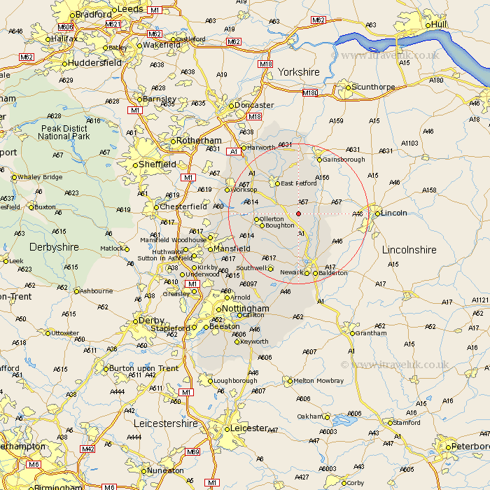
Nottinghamshire Map Showing Location of Darlton
Population: 102
District: Bassetlaw
Easting: 476751 Northing: 371344
Latitude: 53.23 Longitude: -0.85
 = Darlton
District: Bassetlaw
Easting: 476751 Northing: 371344
Latitude: 53.23 Longitude: -0.85
= Darlton
This Darlton map below is supplied by Google. Use the tools in the top left corner to zoom into street level or zoom out for a road map, you may also need to zoom in to see Darlton on the map. Click and drag the map to move around. If the map fails to load try and refresh your browser or zoom in or out (+ or -).
Update - it seems Google no longer allow people to use their maps for free! This Darlton map sometimes loads and sometimes gives a error. I am working on a solution.
Closest 30 Towns or Cities to Darlton (Population over 500)
Tuxford 2.89km Markham 2.89km East Markham 2.89km Grove 8.13km Bampton 8.13km Rampton 8.13km Elksley 8.6km Elkesley 8.6km Walesby 8.87km North Leverton 9.53km Boughton 10.24km East Retford 10.8km Ollerton 11.25km North Collingham 11.41km Collingham 11.41km North Muskham 13.15km Muskham 13.15km Hayton 13.4km Clarborough 13.4km Edwinstowe 15.46km Winthorpe 15.47km Sutton 15.71km Bilsthorpe 16.52km Coddington 17.96km Clipstone 18.22km Ranskill 18.51km Ramskill 18.51km Beckingham 18.57km Southwell 18.59km Newark 18.66km