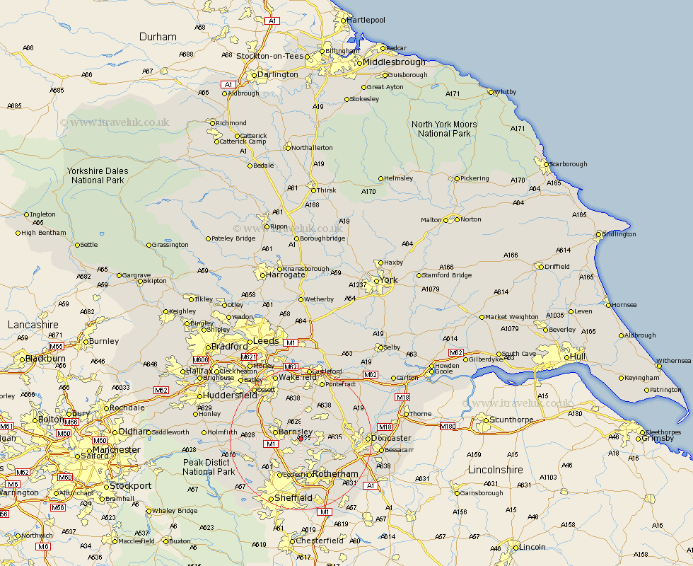
Yorkshire Map Showing Location of Darfield
Population: 7615
Area Size (ha): 173
District: Barnsley
Easting: 440869 Northing: 404275
Latitude: 53.53 Longitude: -1.38
 = Darfield
Area Size (ha): 173
District: Barnsley
Easting: 440869 Northing: 404275
Latitude: 53.53 Longitude: -1.38
= Darfield
This Darfield map below is supplied by Google. Use the tools in the top left corner to zoom into street level or zoom out for a road map, you may also need to zoom in to see Darfield on the map. Click and drag the map to move around. If the map fails to load try and refresh your browser or zoom in or out (+ or -).
Update - it seems Google no longer allow people to use their maps for free! This Darfield map sometimes loads and sometimes gives a error. I am working on a solution.
Closest 30 Towns or Cities to Darfield (Population over 500)
Darsfield 0km Darfield 0km Wombwell 2.15km Little Houghton 2.16km Houghton 2.88km Great Houghton 2.88km Wath on Dearne 4.31km Wath upon Dearne 4.31km Wath-on-Dearne 4.31km Wath 4.31km Cudworth 4.32km Dearne 5.51km Hoyland 5.76km Hoyland Nether 5.76km Shafton 5.98km Worsbrough 6.86km Worsborough 6.86km Barnsley 6.86km Swinton 7.09km Birdwell 7.58km Wentworth 7.73km Hemsworth 7.74km Moorthorpe 7.82km Tankersley 7.83km Brodsworth 7.93km South Kirkby 8.37km Royston 8.63km South Elmsall 8.63km Mexborough 9.51km Rawmarsh 9.83km