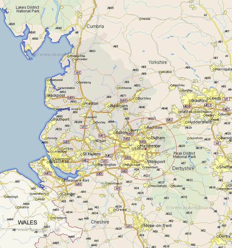
Lancashire Map Showing Location of Droylsden
Population: 22298
Area Size (ha): 343
District: Tameside
Easting: 390047 Northing: 398547
Latitude: 53.48 Longitude: -2.15
 = Droylsden
Area Size (ha): 343
District: Tameside
Easting: 390047 Northing: 398547
Latitude: 53.48 Longitude: -2.15
= Droylsden
This Droylsden map below is supplied by Google. Use the tools in the top left corner to zoom into street level or zoom out for a road map, you may also need to zoom in to see Droylsden on the map. Click and drag the map to move around. If the map fails to load try and refresh your browser or zoom in or out (+ or -).
Update - it seems Google no longer allow people to use their maps for free! This Droylsden map sometimes loads and sometimes gives a error. I am working on a solution.
Closest 30 Towns or Cities to Droylsden (Population over 500)
Ashton 3.79km Ashton under Lyne 3.79km Ashton-under-Lyne 3.79km Chadderton 3.86km Failsworth 3.87km Denton 4.31km Manchester 4.79km Salford 7.72km Oldham 7.74km Middleton 8.12km Royton 9.53km Mossley 9.57km Shaw 10.27km Prestwich 10.42km Hollingworth 10.54km Stretford 11.64km Heywood 11.96km Eccles 12.13km Whitefield 12.38km Pendlebury 12.68km Delph 12.79km Uppermill 13km Swinton 13.36km Milnrow 13.39km Urmston 13.75km Radcliffe 14.21km Rochdale 14.83km Little Lever 16.13km Bury 16.33km Kearsley 16.4km