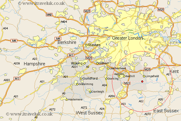
Surrey Map Showing Location of Crowhurst
Population: 349
District: Tandridge
Easting: 539715 Northing: 146490
Latitude: 51.2 Longitude: -0
 = Crowhurst
District: Tandridge
Easting: 539715 Northing: 146490
Latitude: 51.2 Longitude: -0
= Crowhurst
This Crowhurst map below is supplied by Google. Use the tools in the top left corner to zoom into street level or zoom out for a road map, you may also need to zoom in to see Crowhurst on the map. Click and drag the map to move around. If the map fails to load try and refresh your browser or zoom in or out (+ or -).
Update - it seems Google no longer allow people to use their maps for free! This Crowhurst map sometimes loads and sometimes gives a error. I am working on a solution.
Closest 30 Towns or Cities to Crowhurst (Population over 500)
Limpsfield 3.88km Lingfield 3.88km Oxted 3.88km Tandridge 4.37km Godstone 5.94km Horne 5.94km Bletchingley 7.89km Nutfield 8.34km Caterham 9.42km Woldingham 9.55km Tatsfield 9.55km Felbridge 9.55km Burstow 10.18km Salfords 11.61km Warlingham 11.65km Redhill 12.18km Horley 12.19km Farley 13.18km Farleigh 13.18km Whyteleafe 14.21km Reigate 15.54km Charlwood 16.1km Leigh 16.26km Banstead 17.4km Buckland 17.8km Betchworth 17.8km Tadworth 18.7km Newdigate 20.52km Holmwood 22.15km Mickleham 22.74km