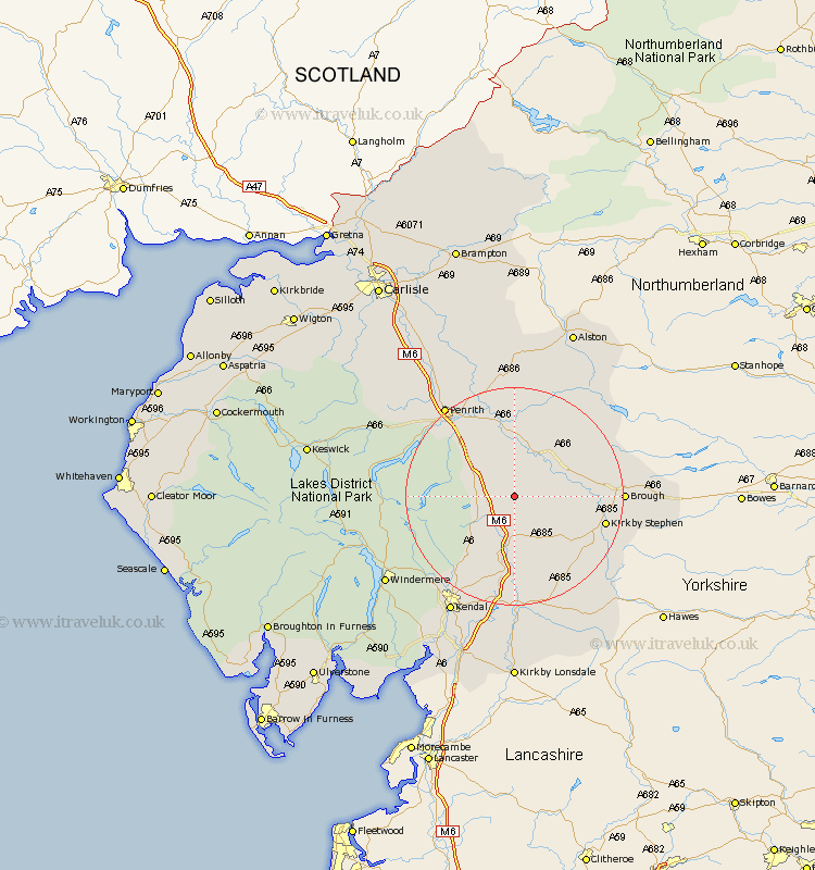
Cumbria Map Showing Location of Crosby Ravensworth
Population: 538
District: Eden
Easting: 362241 Northing: 513659
Latitude: 54.52 Longitude: -2.58
 = Crosby Ravensworth
District: Eden
Easting: 362241 Northing: 513659
Latitude: 54.52 Longitude: -2.58
= Crosby Ravensworth
This Crosby Ravensworth map below is supplied by Google. Use the tools in the top left corner to zoom into street level or zoom out for a road map, you may also need to zoom in to see Crosby Ravensworth on the map. Click and drag the map to move around. If the map fails to load try and refresh your browser or zoom in or out (+ or -).
Update - it seems Google no longer allow people to use their maps for free! This Crosby Ravensworth map sometimes loads and sometimes gives a error. I am working on a solution.
Closest 30 Towns or Cities to Crosby Ravensworth (Population over 500)
Shap 5.38km Orton 5.67km Appleby 8.51km Long Marston 10.21km Long Marton 10.21km Tebay 11.12km Kirkby Thore 11.33km Culgaith 14.86km Ravenstonedale 15.48km Kirkby Stephen 16.06km Brough 18.29km Langwathby 19.29km Dacre 19.58km Staveley 22.49km Milnthorpe 22.65km Millthrop 22.65km Sedbergh 22.65km Greystoke 23.52km Kendall 24.72km Kendal 24.72km Lasonby 25.23km Lazonby 25.23km Ambleside 27.15km Windermere 27.25km Skelton 27.36km Natland 27.71km Kirkoswald 28.79km Dent 29.11km Hawkshead 31.69km Levens 32.36km