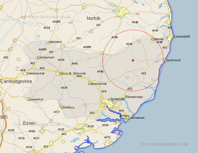
Suffolk Map Showing Location of Cratfield
Population: 299
District: Suffolk Coastal
Easting: 630482 Northing: 276011
Latitude: 52.33 Longitude: 1.38
 = Cratfield
District: Suffolk Coastal
Easting: 630482 Northing: 276011
Latitude: 52.33 Longitude: 1.38
= Cratfield
This Cratfield map below is supplied by Google. Use the tools in the top left corner to zoom into street level or zoom out for a road map, you may also need to zoom in to see Cratfield on the map. Click and drag the map to move around. If the map fails to load try and refresh your browser or zoom in or out (+ or -).
Update - it seems Google no longer allow people to use their maps for free! This Cratfield map sometimes loads and sometimes gives a error. I am working on a solution.
Closest 30 Towns or Cities to Cratfield (Population over 500)
Laxfield 3.87km Cookley 4.89km Fressingfield 5.96km Stradbroke 8.14km Halesworth 8.14km Holton 9.06km Dennington 9.32km Wenhaston 11.48km Worlingworth 11.71km Yoxford 11.71km Hoxne 12.59km Framlingham 13.4km Bungay 13.74km Saxmundham 15.2km Wangford 15.96km Eye 15.96km Thorndon 17.88km Snape 18.47km Worlingham 18.78km Debenham 18.79km Reydon 19.34km Beccles 19.36km Leiston 19.37km Southwold 20.38km Wickham Market 20.41km Wrentham 21.12km Tunstall 22.7km Wortham 22.72km Otley 22.8km Gislingham 22.96km