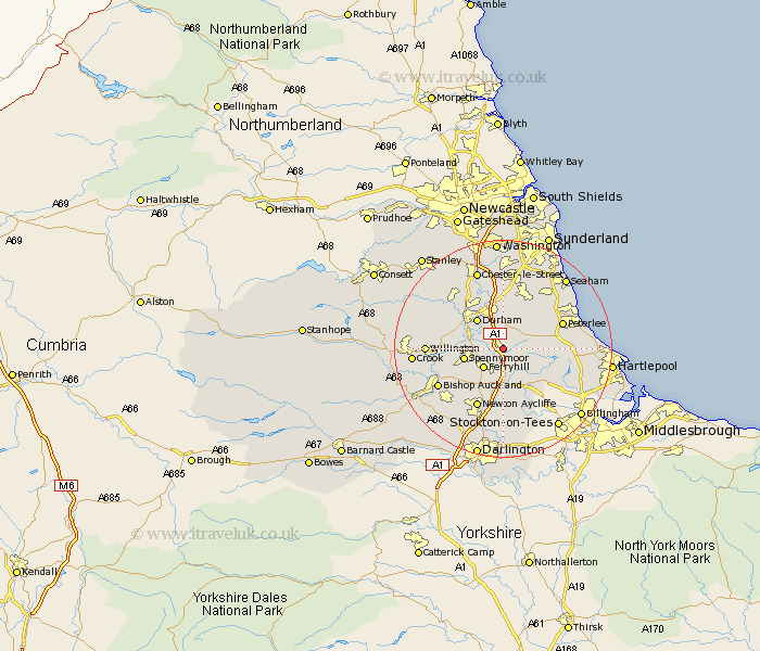
Durham Map Showing Location of Coxhoe
Population: 2358
Area Size (ha): 52
District: Durham
Easting: 432205 Northing: 535870
Latitude: 54.72 Longitude: -1.5
 = Coxhoe
Area Size (ha): 52
District: Durham
Easting: 432205 Northing: 535870
Latitude: 54.72 Longitude: -1.5
= Coxhoe
This Coxhoe map below is supplied by Google. Use the tools in the top left corner to zoom into street level or zoom out for a road map, you may also need to zoom in to see Coxhoe on the map. Click and drag the map to move around. If the map fails to load try and refresh your browser or zoom in or out (+ or -).
Update - it seems Google no longer allow people to use their maps for free! This Coxhoe map sometimes loads and sometimes gives a error. I am working on a solution.
Closest 30 Towns or Cities to Coxhoe (Population over 500)
Bowburn 2.14km Cornforth 2.14km West Cornforth 2.14km Bishop Middleham 3.86km Ferryhill 4.91km Thornley 5.66km Sherburn 5.66km Trimdon 5.67km Fishburn 5.67km Shincliffe 5.96km Spennymoor 6.71km Durham 7.02km Wingate 7.72km Brandon 8.36km Sedgefield 8.56km Haswell 9.14km Pittington 9.32km Hutton Henry 9.63km Peterlee 11.02km West Rainton 11.12km Coundon 11.13km South Hetton 11.27km Shotton 11.32km Hetton le Hole 11.57km Easington 11.83km Newton Aycliffe 11.92km Ushaw Moor 12.15km Murton 12.34km Hesleden 12.34km Witton Gilbert 12.61km