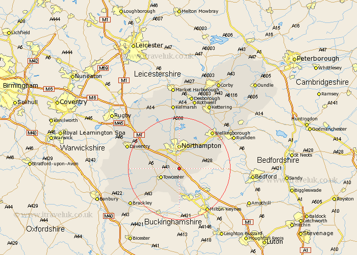
Northamptonshire Map Showing Location of Courteenhall
Population: 88
District: South Northamptonshire
Easting: 476366 Northing: 252681
Latitude: 52.17 Longitude: -0.88
 = Courteenhall
District: South Northamptonshire
Easting: 476366 Northing: 252681
Latitude: 52.17 Longitude: -0.88
= Courteenhall
This Courteenhall map below is supplied by Google. Use the tools in the top left corner to zoom into street level or zoom out for a road map, you may also need to zoom in to see Courteenhall on the map. Click and drag the map to move around. If the map fails to load try and refresh your browser or zoom in or out (+ or -).
Update - it seems Google no longer allow people to use their maps for free! This Courteenhall map sometimes loads and sometimes gives a error. I am working on a solution.
Closest 30 Towns or Cities to Courteenhall (Population over 500)
Wootton 1.85km Roade 1.86km Collingtree 2.17km Milton 2.93km Blisworth 3.41km Hardingstone 3.7km Hartwell 4.35km Hackleton 4.91km Gayton 5.68km Great Houghton 6.52km Houghton 6.52km Towcester 7.77km Kislingbury 7.95km Denton 8.77km Pattishall 9.09km Northampton 9.26km Bugbrooke 9.82km Paulerspury 9.88km Harpole 10.06km Great Billing 10.32km Billing 10.32km Yardley Hastings 10.88km Potterspury 11.12km Whittlebury 11.52km Whiston 11.72km Earls Barton 12.97km Silverstone 13km Boughton 13.01km Moulton 13.16km Deanshanger 13.18km