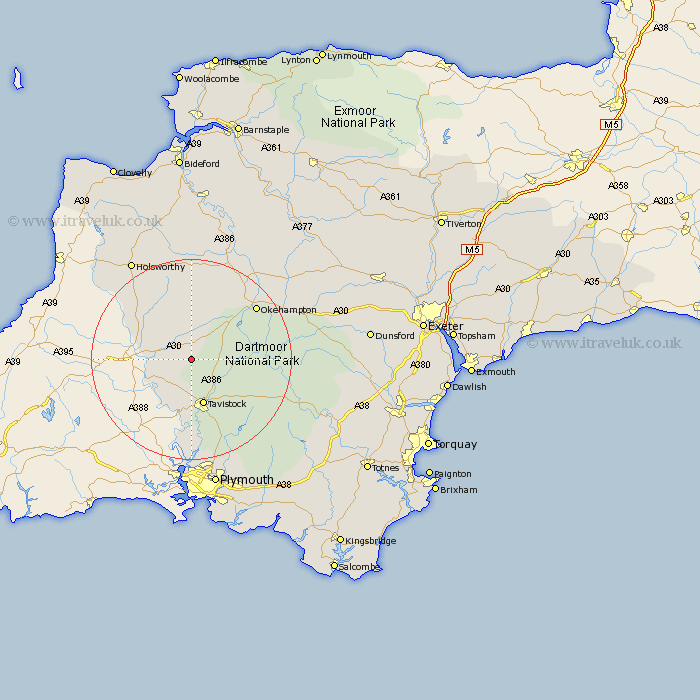
Devon Map Showing Location of Coryton
Population: 86
District: West Devon
Easting: 245614 Northing: 83851
Latitude: 50.63 Longitude: -4.18
 = Coryton
District: West Devon
Easting: 245614 Northing: 83851
Latitude: 50.63 Longitude: -4.18
= Coryton
This Coryton map below is supplied by Google. Use the tools in the top left corner to zoom into street level or zoom out for a road map, you may also need to zoom in to see Coryton on the map. Click and drag the map to move around. If the map fails to load try and refresh your browser or zoom in or out (+ or -).
Update - it seems Google no longer allow people to use their maps for free! This Coryton map sometimes loads and sometimes gives a error. I am working on a solution.
Closest 30 Towns or Cities to Coryton (Population over 500)
Milton Abbot 5.99km Lifton 7.05km Broadwoodwidger 7.28km Lamerton 7.41km Bridestowe 8.09km Tavistock 9.56km Gunnislake 11.37km Whitchurch 11.67km Whitechurch 11.67km St Giles-on-the-Heath 11.95km Saint Giles-on-the-Heath 11.95km Saint Giles 11.95km Saint Giles on the Heath 11.95km St. Giles on the Heath 11.95km St Giles on the Heath 11.95km St Giles 11.95km St. Giles-on-the-Heath 11.95km St. Giles 11.95km Ashwater 13.16km Buckland Monachorum 15.24km Halwill 15.24km Walkhampton 15.36km Northlew 15.56km Horrabridge 15.95km Okehampton 17.05km Yelverton 18.11km Meavy 19.16km Dartmoor Forest 19.62km Black Torrington 20.39km Hatherleigh 21.98km