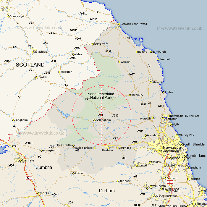
Northumberland Map Showing Location of Corsenside
Population: 494
District: Tynedale
Easting: 389388 Northing: 587686
Latitude: 55.18 Longitude: -2.17
 = Corsenside
District: Tynedale
Easting: 389388 Northing: 587686
Latitude: 55.18 Longitude: -2.17
= Corsenside
This Corsenside map below is supplied by Google. Use the tools in the top left corner to zoom into street level or zoom out for a road map, you may also need to zoom in to see Corsenside on the map. Click and drag the map to move around. If the map fails to load try and refresh your browser or zoom in or out (+ or -).
Update - it seems Google no longer allow people to use their maps for free! This Corsenside map sometimes loads and sometimes gives a error. I am working on a solution.
Closest 30 Towns or Cities to Corsenside (Population over 500)
Otterburn 3.71km Bellingham 5.62km Wark 13.35km Humshaugh 16.81km Chollerton 17.21km Challerton 17.21km Newbrough 20.41km Warden 22.34km Rothbury 22.49km Acomb 22.64km Sandhoe 23.45km Haydon Bridge 24.46km Hexham 24.46km Stamfordham 25.34km Corbridge 25.91km Longhorsley 25.98km Longframlington 26.73km Haltwhistle 27.98km Ponteland 30.36km Swarland 30.38km Riding 30.58km Ridingmill 30.58km Hebron 30.69km Ovingham 30.74km Morpeth 30.75km Wylam 31.41km Felton 31.61km Stocksfield 32.03km Thirston 32.6km East Thirston 32.6km