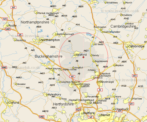
Bedfordshire Map Showing Location of Cople
Population: 736
District: Bedford
Easting: 510682 Northing: 247765
Latitude: 52.12 Longitude: -0.38
 = Cople
District: Bedford
Easting: 510682 Northing: 247765
Latitude: 52.12 Longitude: -0.38
= Cople
This Cople map below is supplied by Google. Use the tools in the top left corner to zoom into street level or zoom out for a road map, you may also need to zoom in to see Cople on the map. Click and drag the map to move around. If the map fails to load try and refresh your browser or zoom in or out (+ or -).
Update - it seems Google no longer allow people to use their maps for free! This Cople map sometimes loads and sometimes gives a error. I am working on a solution.
Closest 30 Towns or Cities to Cople (Population over 500)
Willington 2.17km Great Barford 4.35km Blunham 4.91km Northill 4.92km Elstow 5.99km Sandy 6.31km Wilshamstead 6.53km Willshamstead 6.53km Wilhamstead 6.53km Wilstead 6.53km Tempsford 6.79km Bedford 6.85km Kempston 7.08km Haynes 7.76km Clapham 7.77km Roxton 7.95km Biddenham 8.18km Biggleswade 8.79km Campton and Chicksands 9.34km Southill 9.35km Houghton Conquest 9.35km Bromham 9.83km Wootton 9.84km Shefford 9.88km Thurleigh 10.32km Everton 10.4km Oakley 10.66km Clifton 10.88km Langford 10.89km Bolnhurst 11.18km