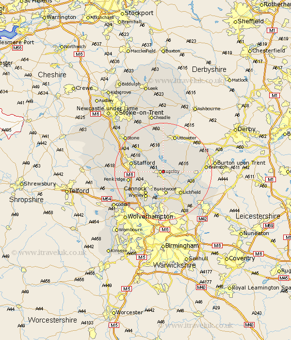
Staffordshire Map Showing Location of Colton
Population: 702
District: Lichfield
Easting: 405621 Northing: 318829
Latitude: 52.77 Longitude: -1.92
 = Colton
District: Lichfield
Easting: 405621 Northing: 318829
Latitude: 52.77 Longitude: -1.92
= Colton
This Colton map below is supplied by Google. Use the tools in the top left corner to zoom into street level or zoom out for a road map, you may also need to zoom in to see Colton on the map. Click and drag the map to move around. If the map fails to load try and refresh your browser or zoom in or out (+ or -).
Update - it seems Google no longer allow people to use their maps for free! This Colton map sometimes loads and sometimes gives a error. I am working on a solution.
Closest 30 Towns or Cities to Colton (Population over 500)
Rugeley 1.12km Armitage 4.34km Colwich 4.85km Abbots Bromley 5.99km Longdon 6km Yoxall 9.16km Hednesford 9.3km Burntwood 9.34km Norton Canes 9.87km Weston upon Trent 10km Weston 10km Bednall 10.09km Huntington 10.8km Cannock 11.46km Lichfield 11.46km Wyrley 12.75km Great Wyrley 12.75km Stafford 12.87km Hammerwich 13.17km Alrewas 13.54km Marchington 13.61km Whittington 13.71km Penkridge 13.96km Hopton 14.38km Hanbury 14.38km Tatenhill 14.69km Brownhills 14.88km Uttoxeter 15.48km Shareshill 15.8km Shenstone 15.86km