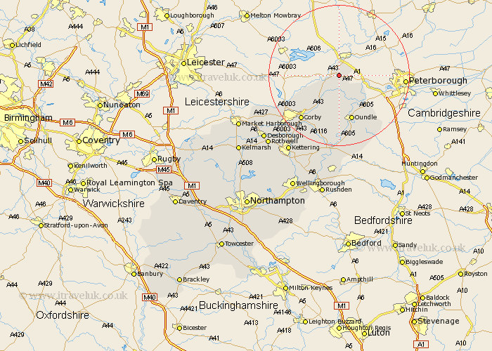
Northamptonshire Map Showing Location of Collyweston
Population: 425
District: East Northamptonshire
Easting: 500451 Northing: 301318
Latitude: 52.6 Longitude: -0.52
 = Collyweston
District: East Northamptonshire
Easting: 500451 Northing: 301318
Latitude: 52.6 Longitude: -0.52
= Collyweston
This Collyweston map below is supplied by Google. Use the tools in the top left corner to zoom into street level or zoom out for a road map, you may also need to zoom in to see Collyweston on the map. Click and drag the map to move around. If the map fails to load try and refresh your browser or zoom in or out (+ or -).
Update - it seems Google no longer allow people to use their maps for free! This Collyweston map sometimes loads and sometimes gives a error. I am working on a solution.
Closest 30 Towns or Cities to Collyweston (Population over 500)
Kings Cliffe 3.87km King's Cliffe 3.87km Nassington 8.75km Gretton 12.56km Oundle 13.41km Warmington 13.63km Weldon 15.19km Caldecott 16.39km Corby 16.47km Stanion 17.35km Brigstock 17.61km Cottingham 20.43km Geddington 21.7km Thrapston 22.27km Titchmarsh 22.35km Wilbarston 23.14km Islip 24.12km Kettering 26.04km Woodford 26.17km Desborough 27.49km Ringstead 27.89km Rothwell 27.98km Rowell 27.98km Burton Latimer 29.6km Raunds 29.68km Isham 30.45km Finedon 30.69km Broughton 30.98km Stanwick 31.58km Irthlingborough 32km