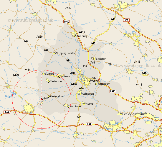
Oxfordshire Map Showing Location of Coleshill
Population: 163
District: Vale of White Horse
Easting: 424221 Northing: 192831
Latitude: 51.63 Longitude: -1.65
 = Coleshill
District: Vale of White Horse
Easting: 424221 Northing: 192831
Latitude: 51.63 Longitude: -1.65
= Coleshill
This Coleshill map below is supplied by Google. Use the tools in the top left corner to zoom into street level or zoom out for a road map, you may also need to zoom in to see Coleshill on the map. Click and drag the map to move around. If the map fails to load try and refresh your browser or zoom in or out (+ or -).
Update - it seems Google no longer allow people to use their maps for free! This Coleshill map sometimes loads and sometimes gives a error. I am working on a solution.
Closest 30 Towns or Cities to Coleshill (Population over 500)
Shrivenham 3.7km Watchfield 3.88km Faringdon 4.96km Clanfield 8.73km Uffington 8.87km Stanford in the Vale 10.35km Buckland 10.99km Bampton 12.28km Childrey 12.78km Carterton 13.77km East Challow 14.89km Shilton 15.23km Letcombe Regis 15.67km Brize Norton 15.9km Longworth 15.95km Kingston Bagpuize 16.52km Kingston Bagpuze 16.52km Ducklington 17.33km East Hanney 17.36km Hanney 17.36km Wantage 18.14km Standlake 18.57km Burford 18.57km Minster Lovell 20.2km Witney 20.25km Stanton Harcourt 20.51km Hailey 21.8km Leafield 21.92km Marcham 21.93km Steventon 23.08km