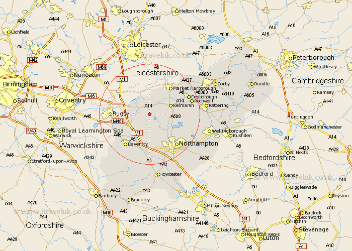
Northamptonshire Map Showing Location of Cold Ashby
Population: 255
District: Daventry
Easting: 465811 Northing: 274776
Latitude: 52.37 Longitude: -1.03
 = Cold Ashby
District: Daventry
Easting: 465811 Northing: 274776
Latitude: 52.37 Longitude: -1.03
= Cold Ashby
This Cold Ashby map below is supplied by Google. Use the tools in the top left corner to zoom into street level or zoom out for a road map, you may also need to zoom in to see Cold Ashby on the map. Click and drag the map to move around. If the map fails to load try and refresh your browser or zoom in or out (+ or -).
Update - it seems Google no longer allow people to use their maps for free! This Cold Ashby map sometimes loads and sometimes gives a error. I am working on a solution.
Closest 30 Towns or Cities to Cold Ashby (Population over 500)
Naseby 3.86km West Haddon 4.35km Guilsborough 4.35km Yelvertoft 5.66km Welford 5.67km East Haddon 7.5km Crick 7.74km Long Buckby 7.75km Clipston 7.93km Spratton 7.94km Kilsby 9.79km Brixworth 10.63km Welton 12.2km Pitsford 12.6km Barby 12.61km Boughton 12.97km Braunston 14.64km Flore 14.87km Walgrave 15.18km Harpole 15.22km Moulton 15.53km Daventry 15.83km Desborough 16.46km Northampton 16.5km Rothwell 16.78km Rowell 16.78km Weedon 16.83km Weedon Beck 16.83km Kislingbury 17.28km Overstone 17.4km