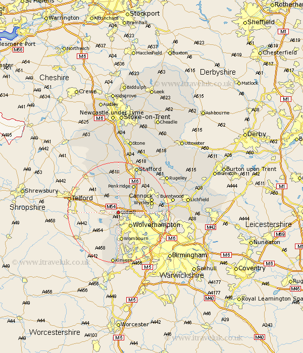
Staffordshire Map Showing Location of Codsall
Population: 11501
Area Size (ha): 282
District: South Staffordshire
Easting: 386465 Northing: 304007
Latitude: 52.63 Longitude: -2.2
 = Codsall
Area Size (ha): 282
District: South Staffordshire
Easting: 386465 Northing: 304007
Latitude: 52.63 Longitude: -2.2
= Codsall
This Codsall map below is supplied by Google. Use the tools in the top left corner to zoom into street level or zoom out for a road map, you may also need to zoom in to see Codsall on the map. Click and drag the map to move around. If the map fails to load try and refresh your browser or zoom in or out (+ or -).
Update - it seems Google no longer allow people to use their maps for free! This Codsall map sometimes loads and sometimes gives a error. I am working on a solution.
Closest 30 Towns or Cities to Codsall (Population over 500)
Brewood 6km Pattingham 7.15km Wolverhampton 7.15km Lower Penn 7.4km Seisdon 8.14km Scisdon 8.14km Shareshill 8.7km Weston-under-Lizard 9.31km Weston under Lizard 9.31km Weston 9.31km Wheaton Aston 9.34km Blymhill 10.84km Wombourn 11.18km Wombourne 11.18km Bilston 11.66km Penkridge 12.46km Great Wyrley 13km Wyrley 13km Church Eaton 13.17km Himley 13.4km Huntington 13.47km Cannock 13.56km Walsall 14km Wallsall 14km Bobbington 14.14km Hednesford 15.39km Haughton 16.68km Norton Canes 16.69km Dudley 16.79km Pelsall 16.98km