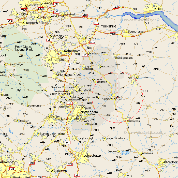
Nottinghamshire Map Showing Location of Coddington
Population: 972
District: Newark and Sherwood
Easting: 483716 Northing: 354772
Latitude: 53.08 Longitude: -0.75
 = Coddington
District: Newark and Sherwood
Easting: 483716 Northing: 354772
Latitude: 53.08 Longitude: -0.75
= Coddington
This Coddington map below is supplied by Google. Use the tools in the top left corner to zoom into street level or zoom out for a road map, you may also need to zoom in to see Coddington on the map. Click and drag the map to move around. If the map fails to load try and refresh your browser or zoom in or out (+ or -).
Update - it seems Google no longer allow people to use their maps for free! This Coddington map sometimes loads and sometimes gives a error. I am working on a solution.
Closest 30 Towns or Cities to Coddington (Population over 500)
Balderton 2.89km Winthorpe 2.9km Newark 4.82km Newark upon Trent 4.82km Newark on Trent 4.82km Newark-on-Trent 4.82km Muskham 5.8km North Muskham 5.8km Collingham 7.42km North Collingham 7.42km Farndon 7.64km Fiskerton Ferry 10.68km Fiskerton 10.68km Elston 10.75km Bleasby 13.45km Southwell 14.03km Flintham 14.98km Tuxford 17.29km East Bridgford 18.63km Aslockton 18.92km Aslocton 18.92km Farnsfield 19.01km Bilsthorpe 19.71km Markham 20.56km East Markham 20.56km Boughton 20.78km Bingham 21.38km Oxton 21.48km Burton Joyce 21.97km Shelford 22.05km