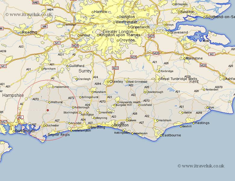
Sussex Map Showing Location of Cocking
Population: 459
District: Chichester
Easting: 487827 Northing: 115677
Latitude: 50.93 Longitude: -0.75
 = Cocking
District: Chichester
Easting: 487827 Northing: 115677
Latitude: 50.93 Longitude: -0.75
= Cocking
This Cocking map below is supplied by Google. Use the tools in the top left corner to zoom into street level or zoom out for a road map, you may also need to zoom in to see Cocking on the map. Click and drag the map to move around. If the map fails to load try and refresh your browser or zoom in or out (+ or -).
Update - it seems Google no longer allow people to use their maps for free! This Cocking map sometimes loads and sometimes gives a error. I am working on a solution.
Closest 30 Towns or Cities to Cocking (Population over 500)
Graffham 4.67km Midhurst 5.68km Iping 6.03km Stoughton 8.95km East Harting 8.98km Rogate 9.44km Lavant 9.55km Boxgrove 9.55km Tangmere 9.55km Tillington 10.87km Lurgashall 10.96km Fernhurst 11.36km Chichester 11.36km Oving 11.36km Fishbourne 11.66km Petworth 11.89km Funtington 11.93km Slindon 12.36km Linchmere 12.98km Fittleworth 12.98km Eastergate 13.15km Walberton 13.16km Bury 13.38km Mundham 14.82km North Mundham 14.82km Westbourne 14.91km Southbourne 14.91km Dunnington 15.01km Donnington 15.01km Westergate 15.07km