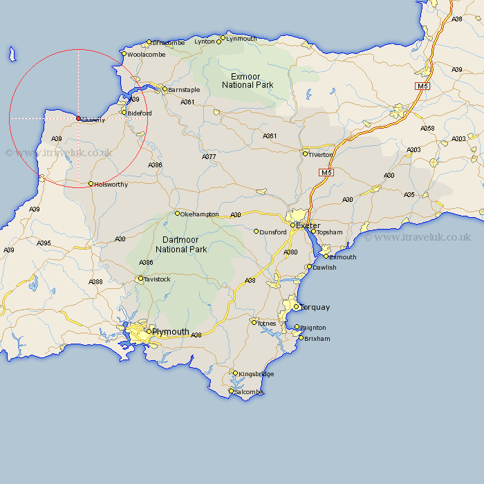
Devon Map Showing Location of Clovelly
Population: 472
District: Torridge
Easting: 231619 Northing: 125091
Latitude: 51 Longitude: -4.4
 = Clovelly
District: Torridge
Easting: 231619 Northing: 125091
Latitude: 51 Longitude: -4.4
= Clovelly
This Clovelly map below is supplied by Google. Use the tools in the top left corner to zoom into street level or zoom out for a road map, you may also need to zoom in to see Clovelly on the map. Click and drag the map to move around. If the map fails to load try and refresh your browser or zoom in or out (+ or -).
Update - it seems Google no longer allow people to use their maps for free! This Clovelly map sometimes loads and sometimes gives a error. I am working on a solution.
Closest 30 Towns or Cities to Clovelly (Population over 500)
Woolsery 3.88km Woolfardisworthy 3.88km Hartland 5.83km Parkham 7.92km Buckland Brewer 11.13km Bradworthy 11.18km Bideford 12.96km Northam 13.35km Appledore 15.05km Langtree 16.79km Instow 17.24km Great Torrington 18.37km Torrington 18.37km Braunton 18.79km Georgeham 20.37km Holsworthy 20.68km Shebbear 21.05km Fremington 21.15km Pyworthy 22.24km Bridgerule 22.36km Mortehoe 24.71km Morthoe 24.71km Tawstock 25.1km Black Torrington 25.42km Marwood 25.66km Barnstaple 26.17km West Down 27.12km High Bickington 28.24km Halwill 28.46km Dolton 28.78km