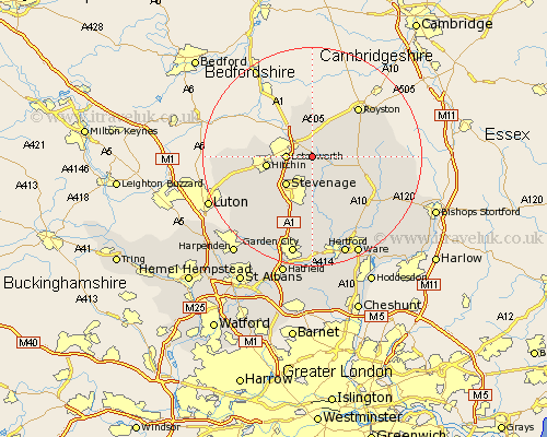
Hertfordshire Map Showing Location of Clothall
Population: 161
District: North Hertfordshire
Easting: 527080 Northing: 231466
Latitude: 51.97 Longitude: -0.15
 = Clothall
District: North Hertfordshire
Easting: 527080 Northing: 231466
Latitude: 51.97 Longitude: -0.15
= Clothall
This Clothall map below is supplied by Google. Use the tools in the top left corner to zoom into street level or zoom out for a road map, you may also need to zoom in to see Clothall on the map. Click and drag the map to move around. If the map fails to load try and refresh your browser or zoom in or out (+ or -).
Update - it seems Google no longer allow people to use their maps for free! This Clothall map sometimes loads and sometimes gives a error. I am working on a solution.
Closest 30 Towns or Cities to Clothall (Population over 500)
Weston 2.18km Baldock 2.94km Letchworth 4.57km Graveley 5.05km Walkern 5.68km Wymondley 5.89km Great Wymondley 5.89km Cottered 5.89km Stevenage 7.2km Ashwell 7.41km Ickleford 7.99km Hitchin 8.21km Therfield 8.82km Aston 9.27km Buntingford 9.32km Bennington 9.89km Benington 9.89km Pirton 11.57km Barkway 12km Royston 12.23km Hormead 12.7km Datchworth 12.98km Little Munden 13.06km Knebworth 13.18km Watton 13.42km Watton at Stone 13.42km Braughing 13.62km Great Offley 13.74km Offley 13.74km Codicote 14.18km