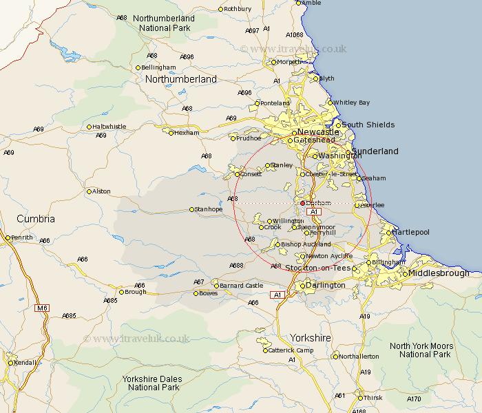
Durham Map Showing Location of Durham
Population: 42904
Area Size (ha): 1007
District: Durham
Easting: 427877 Northing: 541405
Latitude: 54.77 Longitude: -1.57
 = Durham
Area Size (ha): 1007
District: Durham
Easting: 427877 Northing: 541405
Latitude: 54.77 Longitude: -1.57
= Durham
This Durham map below is supplied by Google. Use the tools in the top left corner to zoom into street level or zoom out for a road map, you may also need to zoom in to see Durham on the map. Click and drag the map to move around. If the map fails to load try and refresh your browser or zoom in or out (+ or -).
Update - it seems Google no longer allow people to use their maps for free! This Durham map sometimes loads and sometimes gives a error. I am working on a solution.
Closest 30 Towns or Cities to Durham (Population over 500)
Shincliffe 2.14km Brandon 3.71km Bowburn 4.91km Sherburn 5.35km Ushaw Moor 5.65km Witton Gilbert 5.65km Sacriston 6.42km Pittington 6.5km West Rainton 7.01km Coxhoe 7.02km Langley Park 7.4km Spennymoor 7.79km West Cornforth 8.08km Cornforth 8.08km Esh 8.75km Thornley 8.75km Chester-le-Street 9.26km Hetton le Hole 9.32km Ferryhill 9.33km Haswell 9.8km Edmondsley 10.2km Willington 10.21km Bishop Middleham 10.71km Murton 11.11km Houghton le Spring 11.26km South Hetton 11.31km Pelton 11.32km Lanchester 12.04km Trimdon 12.16km Wingate 12.34km