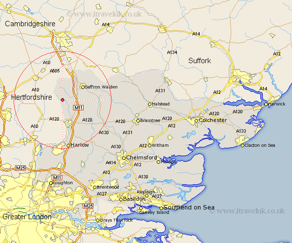
Essex Map Showing Location of Clavering
Population: 1156
District: Uttlesford
Easting: 546540 Northing: 231999
Latitude: 51.97 Longitude: 0.13
 = Clavering
District: Uttlesford
Easting: 546540 Northing: 231999
Latitude: 51.97 Longitude: 0.13
= Clavering
This Clavering map below is supplied by Google. Use the tools in the top left corner to zoom into street level or zoom out for a road map, you may also need to zoom in to see Clavering on the map. Click and drag the map to move around. If the map fails to load try and refresh your browser or zoom in or out (+ or -).
Update - it seems Google no longer allow people to use their maps for free! This Clavering map sometimes loads and sometimes gives a error. I am working on a solution.
Closest 30 Towns or Cities to Clavering (Population over 500)
Quendon 4.93km Manuden 6.01km Newport 8.2km Stansted 8.71km Stansted Apt 8.71km Stansted Mountfitchet 8.71km Henham 8.82km Elsenham 8.83km Debden 9.13km Littlebury 9.35km Saffron Walden 9.73km Birchanger 9.89km Chesterford 12.02km Great Chesterford 12.02km Broxted 12.71km Wimbish 13.09km Wenbech 13.09km Winebisc 13.09km Gwimbach 13.09km Winbeche 13.09km Wymbyshe 13.09km Wimbeis 13.09km Radwinter 14.19km Takeley 14.4km Hallingbury 15.23km Great Hallingbury 15.23km Great Easton 15.59km Ashdon 15.6km Thaxted 16.1km Hatfield Broad Oak 16.86km