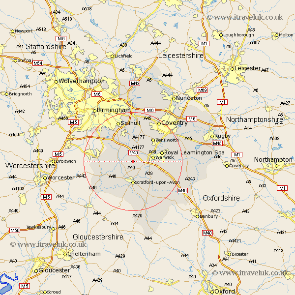
Warwickshire Map Showing Location of Claverdon
Population: 1191
District: Stratford-on-Avon
Easting: 420470 Northing: 263257
Latitude: 52.27 Longitude: -1.7
 = Claverdon
District: Stratford-on-Avon
Easting: 420470 Northing: 263257
Latitude: 52.27 Longitude: -1.7
= Claverdon
This Claverdon map below is supplied by Google. Use the tools in the top left corner to zoom into street level or zoom out for a road map, you may also need to zoom in to see Claverdon on the map. Click and drag the map to move around. If the map fails to load try and refresh your browser or zoom in or out (+ or -).
Update - it seems Google no longer allow people to use their maps for free! This Claverdon map sometimes loads and sometimes gives a error. I am working on a solution.
Closest 30 Towns or Cities to Claverdon (Population over 500)
Shrewley 4.34km Bearley 4.35km Snitterfield 4.35km Henley in Arden 4.9km Wootton Wawen 4.9km Hatton 5.03km Rowington 5.56km Aston Cantlow 7.75km Barford 7.75km Warwick 8.15km Lapworth 8.15km Ullenhall 8.76km Stratford on Avon 9.27km Stratford-upon-Avon 9.27km Stratford-on-Avon 9.27km Stratford 9.27km Stratford upon Avon 9.27km Great Alne 9.7km Temple Balsall 11.18km Leamington Spa 11.93km Royal Leamington Spa 11.93km Leamington 11.93km Bishops Tachbrook 11.94km Kenilworth 12.19km Wellesbourne 12.21km Wellesbourne Hastings 12.21km Studley 12.48km Whitnash 12.62km Alcester 12.64km Knowle 13.16km