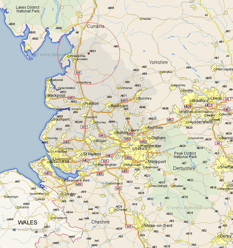
Lancashire Map Showing Location of Claughton
Population: 132
District: Lancaster
Easting: 356391 Northing: 465490
Latitude: 54.08 Longitude: -2.67
 = Claughton
District: Lancaster
Easting: 356391 Northing: 465490
Latitude: 54.08 Longitude: -2.67
= Claughton
This Claughton map below is supplied by Google. Use the tools in the top left corner to zoom into street level or zoom out for a road map, you may also need to zoom in to see Claughton on the map. Click and drag the map to move around. If the map fails to load try and refresh your browser or zoom in or out (+ or -).
Update - it seems Google no longer allow people to use their maps for free! This Claughton map sometimes loads and sometimes gives a error. I am working on a solution.
Closest 30 Towns or Cities to Claughton (Population over 500)
Caton 3.75km Over Kellet 5.72km Nether Kellet 5.74km Carnforth 7.5km Bolton le Sands 7.61km Warton 8.57km Lancaster 9.8km Morecombe 12.1km Morecambe 12.1km Silverdale 13.47km Overton 15.14km Forton 16.67km Middleton 16.91km Cockerham 17.77km Garstang 21.4km Chipping 22.9km Pilling 23.35km Claughton 24.31km Claughton on Brock 24.31km Claughton-on-Brock 24.31km Catterall 24.96km Preesall 26.97km Waddington 27.6km Grindleton 28.28km Longridge 28.33km Eccleston 29.05km Great Eccleston 29.05km Goosnargh 29.65km Clitheroe 29.74km Hambleton 29.74km