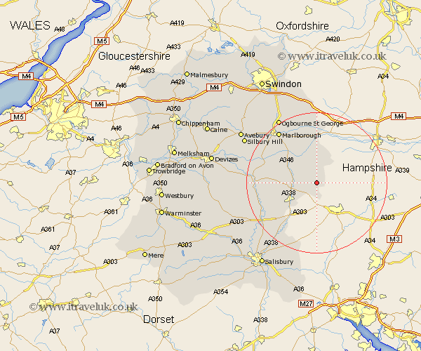
Wiltshire Map Showing Location of Chute
Population: 336
District: Kennet
Easting: 430218 Northing: 153941
Latitude: 51.28 Longitude: -1.57
 = Chute
District: Kennet
Easting: 430218 Northing: 153941
Latitude: 51.28 Longitude: -1.57
= Chute
This Chute map below is supplied by Google. Use the tools in the top left corner to zoom into street level or zoom out for a road map, you may also need to zoom in to see Chute on the map. Click and drag the map to move around. If the map fails to load try and refresh your browser or zoom in or out (+ or -).
Update - it seems Google no longer allow people to use their maps for free! This Chute map sometimes loads and sometimes gives a error. I am working on a solution.
Closest 30 Towns or Cities to Chute (Population over 500)
Collingbourne Ducis 5.8km Grafton 7.24km Shalbourn 7.51km Shalbourne 7.51km Burbage 8.9km Tidworth 8.91km North Tidworth 8.91km Bedwyn 9.56km Great Bedwyn 9.56km Ludgershall 10.93km Lugershall 10.93km Pewsey 13.9km Netheravon 16.07km Enford 16.65km Bulford 16.72km Figheldean 16.8km Ramsbury 16.84km Upavon 17.39km Durrington 17.82km Marlborough 18.13km Idmiston 19.68km Amesbury 19.89km Lark Hill 20.65km Aldbourne 20.69km Baydon 22.36km Winterslow 23.31km Winterbourne 24.06km Winterbourne Dauntsey 24.06km Urchfont 25.56km Shrewton 25.73km