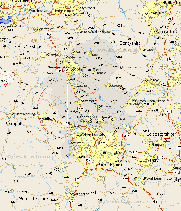
Staffordshire Map Showing Location of Church Eaton
Population: 628
District: Stafford
Easting: 384252 Northing: 316994
Latitude: 52.75 Longitude: -2.23
 = Church Eaton
District: Stafford
Easting: 384252 Northing: 316994
Latitude: 52.75 Longitude: -2.23
= Church Eaton
This Church Eaton map below is supplied by Google. Use the tools in the top left corner to zoom into street level or zoom out for a road map, you may also need to zoom in to see Church Eaton on the map. Click and drag the map to move around. If the map fails to load try and refresh your browser or zoom in or out (+ or -).
Update - it seems Google no longer allow people to use their maps for free! This Church Eaton map sometimes loads and sometimes gives a error. I am working on a solution.
Closest 30 Towns or Cities to Church Eaton (Population over 500)
Wheaton Aston 3.87km Gnossall 3.87km Gnosall 3.87km Haughton 4.33km Blymhill 5km Weston under Lizard 6.5km Weston-under-Lizard 6.5km Weston 6.5km Penkridge 8.07km Seighford 8.14km Brewood 8.67km Stafford 10.55km Eccleshall 11.18km Bednall 11.37km High Offley 11.45km Adbaston 12.14km Hopton 12.89km Codsall 13.17km Shareshill 13.71km Huntington 14.57km Cannock 16.37km Hednesford 16.67km Wyrley 17.13km Great Wyrley 17.13km Colwich 17.22km Weston upon Trent 17.27km Weston 17.27km Stone 17.98km Swinnerton 18.57km Swynnerton 18.57km