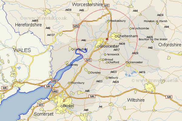
Gloucestershire Map Showing Location of Churchdown
Population: 11829
Area Size (ha): 347
District: Tewkesbury
Easting: 388529 Northing: 220588
Latitude: 51.88 Longitude: -2.17
 = Churchdown
Area Size (ha): 347
District: Tewkesbury
Easting: 388529 Northing: 220588
Latitude: 51.88 Longitude: -2.17
= Churchdown
This Churchdown map below is supplied by Google. Use the tools in the top left corner to zoom into street level or zoom out for a road map, you may also need to zoom in to see Churchdown on the map. Click and drag the map to move around. If the map fails to load try and refresh your browser or zoom in or out (+ or -).
Update - it seems Google no longer allow people to use their maps for free! This Churchdown map sometimes loads and sometimes gives a error. I am working on a solution.
Closest 30 Towns or Cities to Churchdown (Population over 500)
Innsworth 2.29km Brockworth 3.7km Staverton 3.71km Hucclecote 3.88km Shurdington 3.9km Leckhampton 6.01km Cheltenham 6.01km Charlton Kings 7.11km Swindon 7.2km Gloucester 7.98km Ashleworth 8.83km Deerhurst 9.55km Southam 9.74km Hartpury 9.87km Bishops Cleeve 10.1km Corse 10.7km Quedgeley 10.91km Painswick 11.18km Hardwicke 11.78km Tibberton 12.72km Tewkesbury 13.03km Ashchurch 13.42km Randwick 14.17km Andoversford 14.99km Stroud 15km Withington 15.88km Alderton 15.94km Huntley 16.12km Winchcomb 16.61km Winchcombe 16.61km