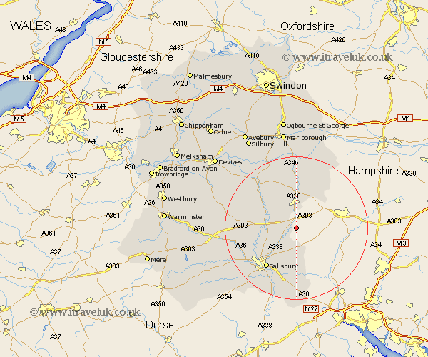
Wiltshire Map Showing Location of West Cholderton
Population: 210
District: Salisbury
Easting: 423303 Northing: 140939
Latitude: 51.17 Longitude: -1.67
 = West Cholderton
District: Salisbury
Easting: 423303 Northing: 140939
Latitude: 51.17 Longitude: -1.67
= West Cholderton
This West Cholderton map below is supplied by Google. Use the tools in the top left corner to zoom into street level or zoom out for a road map, you may also need to zoom in to see West Cholderton on the map. Click and drag the map to move around. If the map fails to load try and refresh your browser or zoom in or out (+ or -).
Update - it seems Google no longer allow people to use their maps for free! This West Cholderton map sometimes loads and sometimes gives a error. I am working on a solution.
Closest 30 Towns or Cities to West Cholderton (Population over 500)
Ludgershall 3.88km Lugershall 3.88km Idmiston 5.1km Durrington 7.21km Tidworth 7.4km North Tidworth 7.4km Bulford 7.89km Amesbury 8.13km Winterslow 9.27km Winterbourne Dauntsey 9.42km Winterbourne 9.42km Figheldean 9.85km Lark Hill 10.62km Netheravon 11km Collingbourne Ducis 13.02km Farley 13.03km Enford 13.12km New Sarum 13.78km Salisbury 13.78km Alderbury 15.55km South Newton 15.8km Shrewton 16.37km Britford 16.4km Upavon 16.65km Wilton 16.76km Odstock 16.92km Burbage 18.52km Whiteparish 18.57km Grafton 18.67km Longford 18.97km