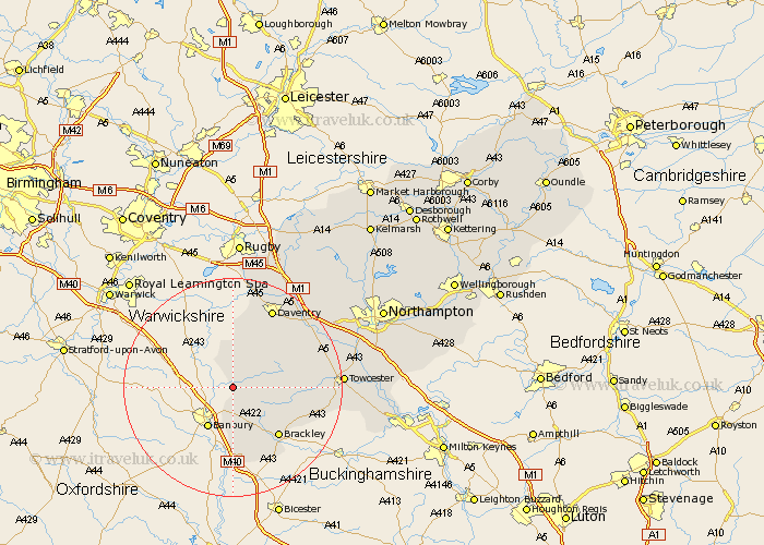
Northamptonshire Map Showing Location of Chipping Warden
Population: 529
District: South Northamptonshire
Easting: 450207 Northing: 246786
Latitude: 52.12 Longitude: -1.27
 = Chipping Warden
District: South Northamptonshire
Easting: 450207 Northing: 246786
Latitude: 52.12 Longitude: -1.27
= Chipping Warden
This Chipping Warden map below is supplied by Google. Use the tools in the top left corner to zoom into street level or zoom out for a road map, you may also need to zoom in to see Chipping Warden on the map. Click and drag the map to move around. If the map fails to load try and refresh your browser or zoom in or out (+ or -).
Update - it seems Google no longer allow people to use their maps for free! This Chipping Warden map sometimes loads and sometimes gives a error. I am working on a solution.
Closest 30 Towns or Cities to Chipping Warden (Population over 500)
Chacombe 3.88km Chalcombe 3.88km Upper Boddington 5.67km Boddington 5.67km Byfield 6.01km Greatworth 7.96km Helmdon 9.84km Kings Sutton 11.12km Brackley 12.23km Badby 12.49km Syresham 13.7km Aynho 14.88km Croughton 15.52km Daventry 16.31km Silverstone 17.48km Weedon Beck 17.6km Weedon 17.6km Pattishall 17.94km Braunston 19.07km Bugbrooke 19.41km Towcester 19.43km Flore 19.66km Whittlebury 19.71km Welton 20.16km Gayton 21.21km Barby 22.7km Paulerspury 23.07km Harpole 23.27km Kislingbury 23.29km Blisworth 23.42km