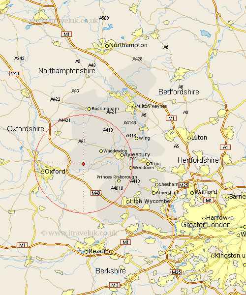
Buckinghamshire Map Showing Location of Chilton
Population: 347
District: Aylesbury Vale
Easting: 467824 Northing: 209911
Latitude: 51.78 Longitude: -1.02
 = Chilton
District: Aylesbury Vale
Easting: 467824 Northing: 209911
Latitude: 51.78 Longitude: -1.02
= Chilton
This Chilton map below is supplied by Google. Use the tools in the top left corner to zoom into street level or zoom out for a road map, you may also need to zoom in to see Chilton on the map. Click and drag the map to move around. If the map fails to load try and refresh your browser or zoom in or out (+ or -).
Update - it seems Google no longer allow people to use their maps for free! This Chilton map sometimes loads and sometimes gives a error. I am working on a solution.
Closest 30 Towns or Cities to Chilton (Population over 500)
Long Crendon 2.94km Worminghall 3.91km Warminghall 3.91km Oakley 3.91km Brill 4.36km Chearsley 4.94km Cuddington 6.88km Haddenham 7.12km Waddesdon 8.84km Grendon Underwood 9.34km Quainton 11.54km Stone 11.61km Bledlow 12.71km Longwick 12.75km Marsh Gibbon 13.18km North Marston 15.16km Radnage 15.18km Aylesbury 15.36km Princes Risborough 15.63km Kimble 15.91km Great Kimble 15.91km Stoke Mandeville 16.05km Ellesborough 16.48km Twyford 16.72km Whitechurch 16.8km Whitchurch 16.8km Claydon 16.84km Steeple Claydon 16.84km Stokenchurch 16.86km Weston Turville 18.34km